
Date: 03.11.2016
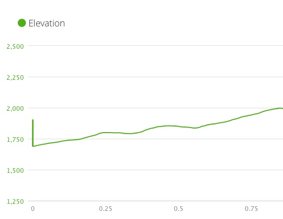
Miles: 0.8 miles Elevation Gain: 309↑ Elev./Mi: 386 Grade: 7%
Difficulty: Class 3 Hiking Time: 0:17 Pace: 3.1 mph Avg. Temp.: 65
Section: Cades Cove
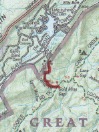
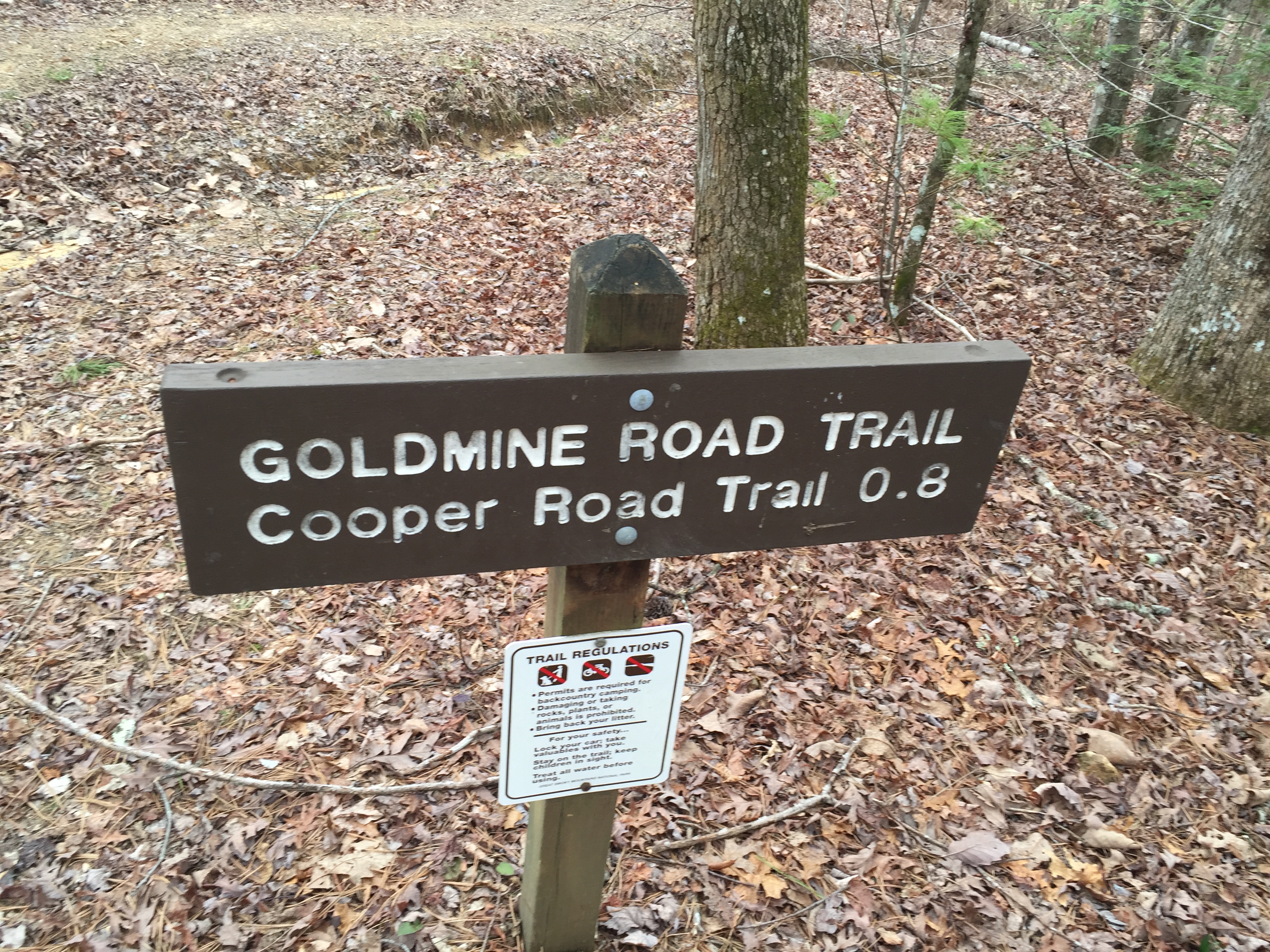 The Goldmine Road Trail is merely an access trail to Goldmine Gap and the Cooper Road Trail. The Brown Book describes its starting point as 2.5 miles up the Cooper Road Trail from Abrams Creek Campground, which is true. The trail terminates at the Park Boundary, which is only a hundred yards or so from a residential street in the Top Of The World Community. This community is accessible from the Foothills Parkway. Flats Road intersects near the entrance of the Look Rock Campground and twists along through the Top Of The World Community. Look for Joroulman Dr. on the right and take the first right after that onto Stiffener Circle. The trail access is on the right just before a sharp curve to the left. Look for a cabin with a red metal roof across the street. There is no official parking area but the is some space on the side of the road. Watch for horse trailers though.
From the Cooper Road Trail, Gold Mine trail ascends steadily the whole 0.8 miles. The Brown Book has some interesting history about this old track but otherwise, there is nothing really remarkable about it other than a good access to Cooper Road and Cane Creek Trails.
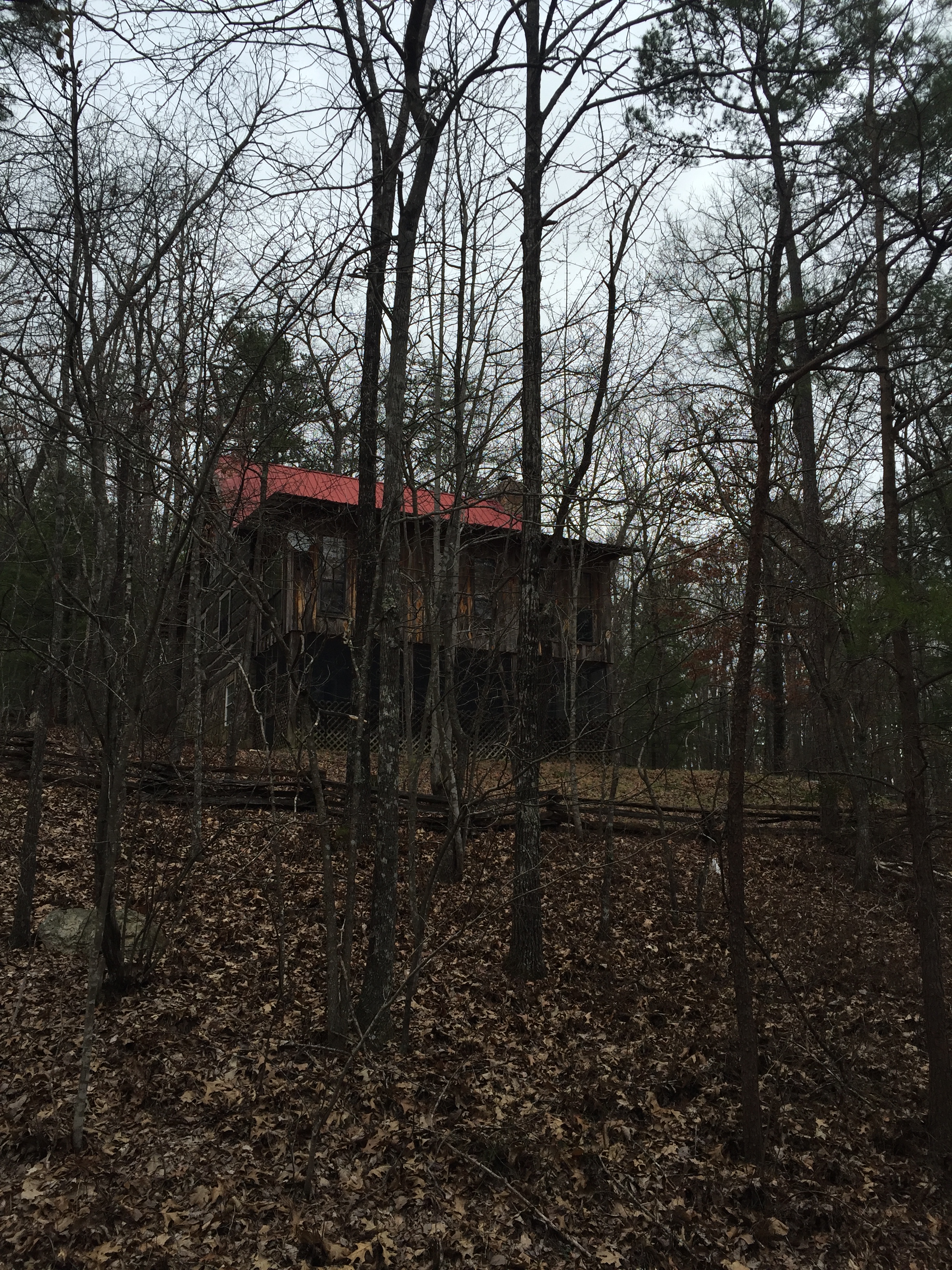
Cabin near access to Gold Mine Trail


Pingback: Cane Creek Trail | Hiking the Great Smoky Mountain National Park
Pingback: Abrams Creek Backpacking Trip | Hiking the Great Smoky Mountain National Park