Date: May 6, 2016
Miles: 0.6 miles Elevation Gain: 118 ft. Elev./Mi: 196 Grade: 4%
Difficulty: Class 1 Hiking Time: 0:14 Pace: 2.5 mph Avg. Temp.: 46
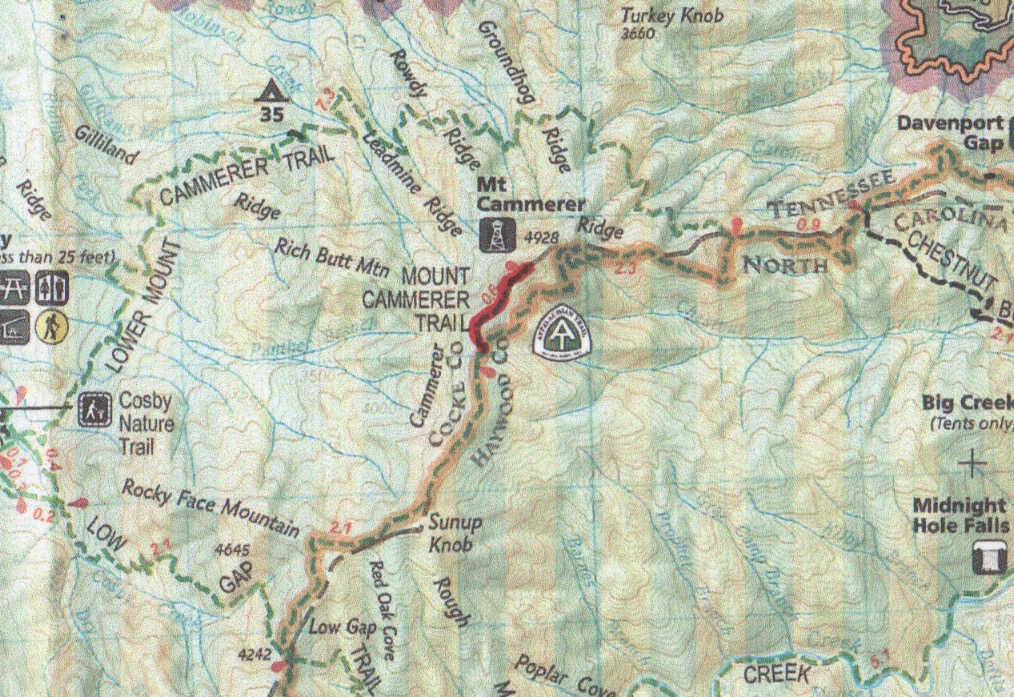

Mount Cammerer Trail is the access trail to Mt. Cammerer Tower from the Appalachian Trail. The mountain, trail and the tower are named for Arno Cammerer who was the director of the National Park Service at the time the Smokies were designated as a national park. There are no camping facilities or water along this trail and while camping in the tower occurs, the Park Service discourages it by patrolling the area frequently
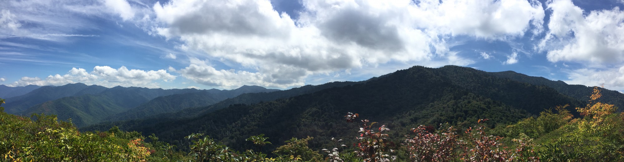
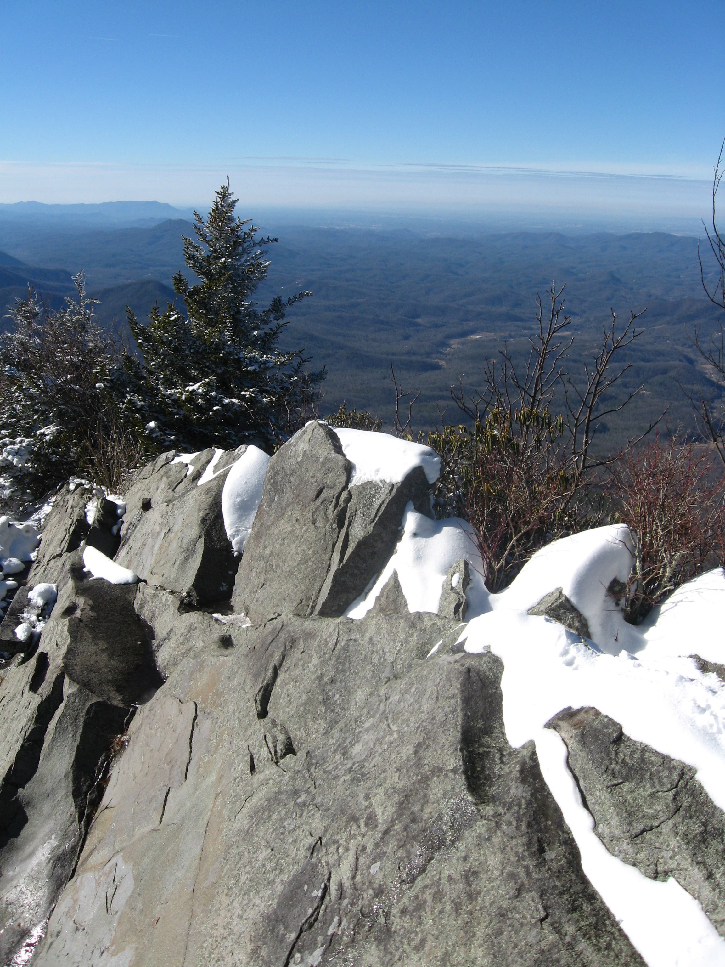
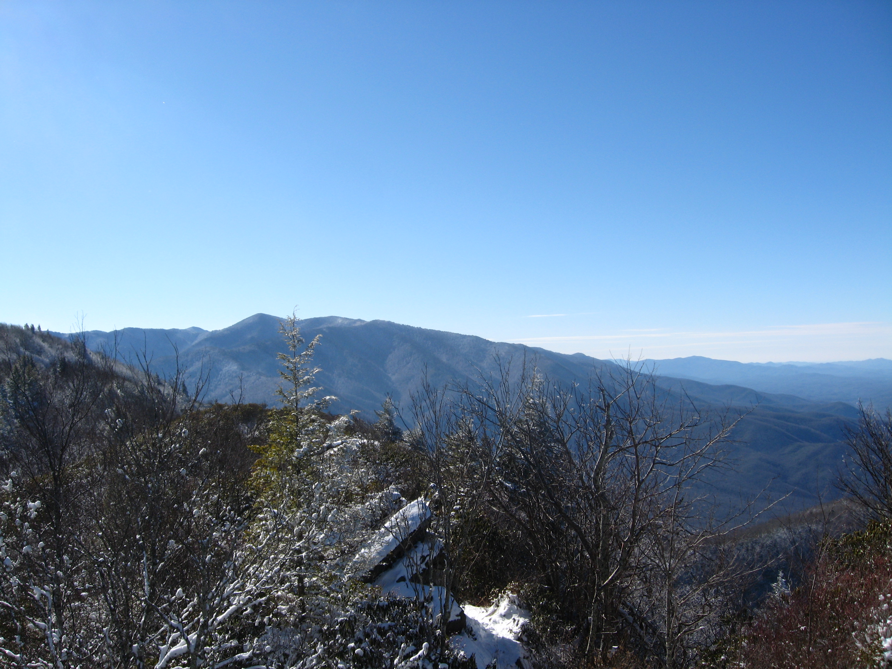
The trail is generally accompanied by laurel and rhododendron and reaches a point where it becomes brushy like an overgrown bald. The views are spectacular, especially when viewed from atop many of the rock outcroppings along the way.
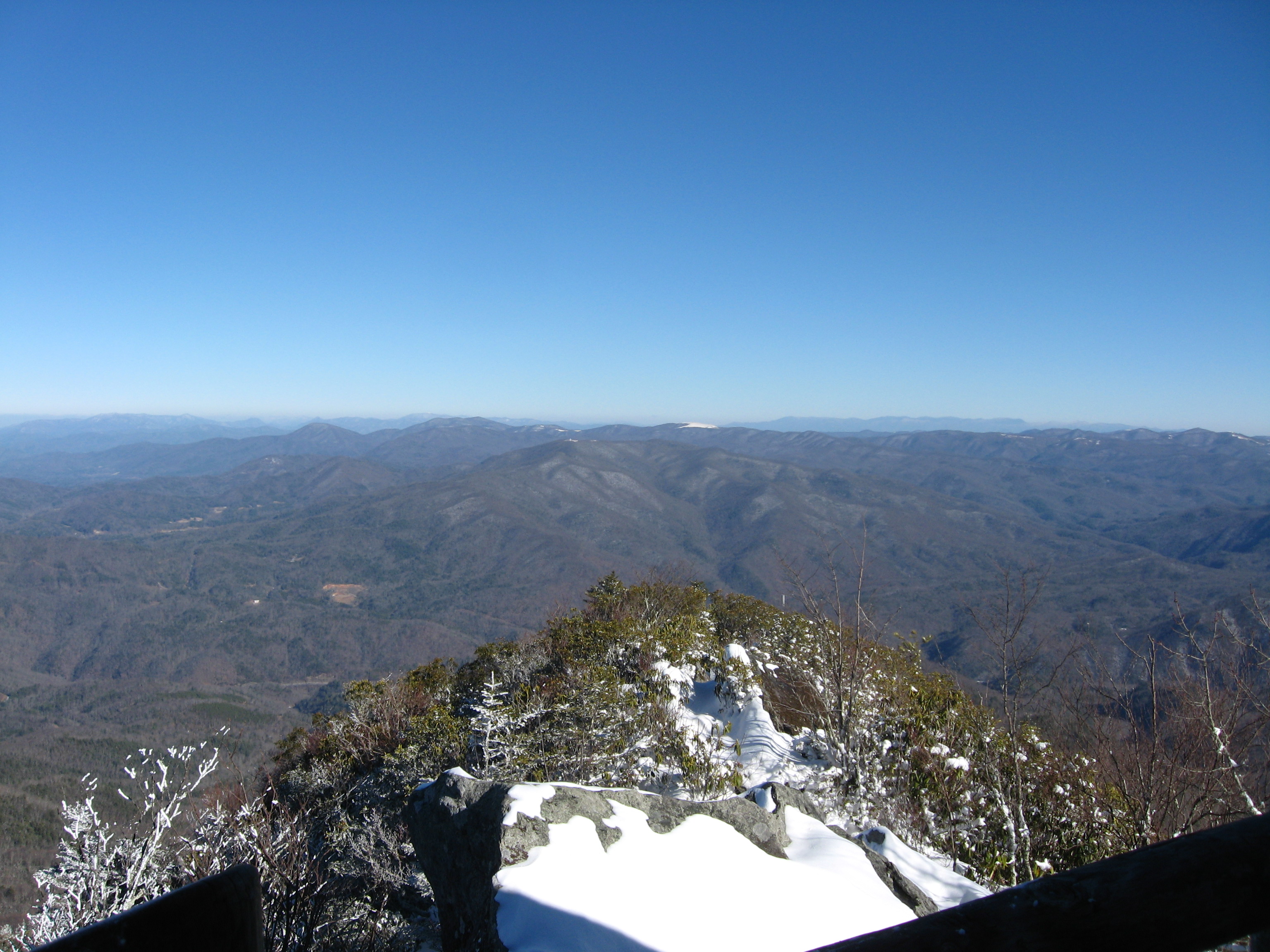
The trail terminates at the tower which was constructed of stone and local timber in the 1930’s by the CCC. It is octagonal in shape and offers sheltered views 360 degrees.

Data Book:


