
 Campsite #35 – Gilliland Fork
Lower Mount Cammerer Trail – 3.3 miles from the Trailhead at Cosby Campground and , 4.1 miles from the trailhead on the Appalachian Trail. Elevation 2,680
Capacity: 12
Rating: 5
Water: Gilliland Creek
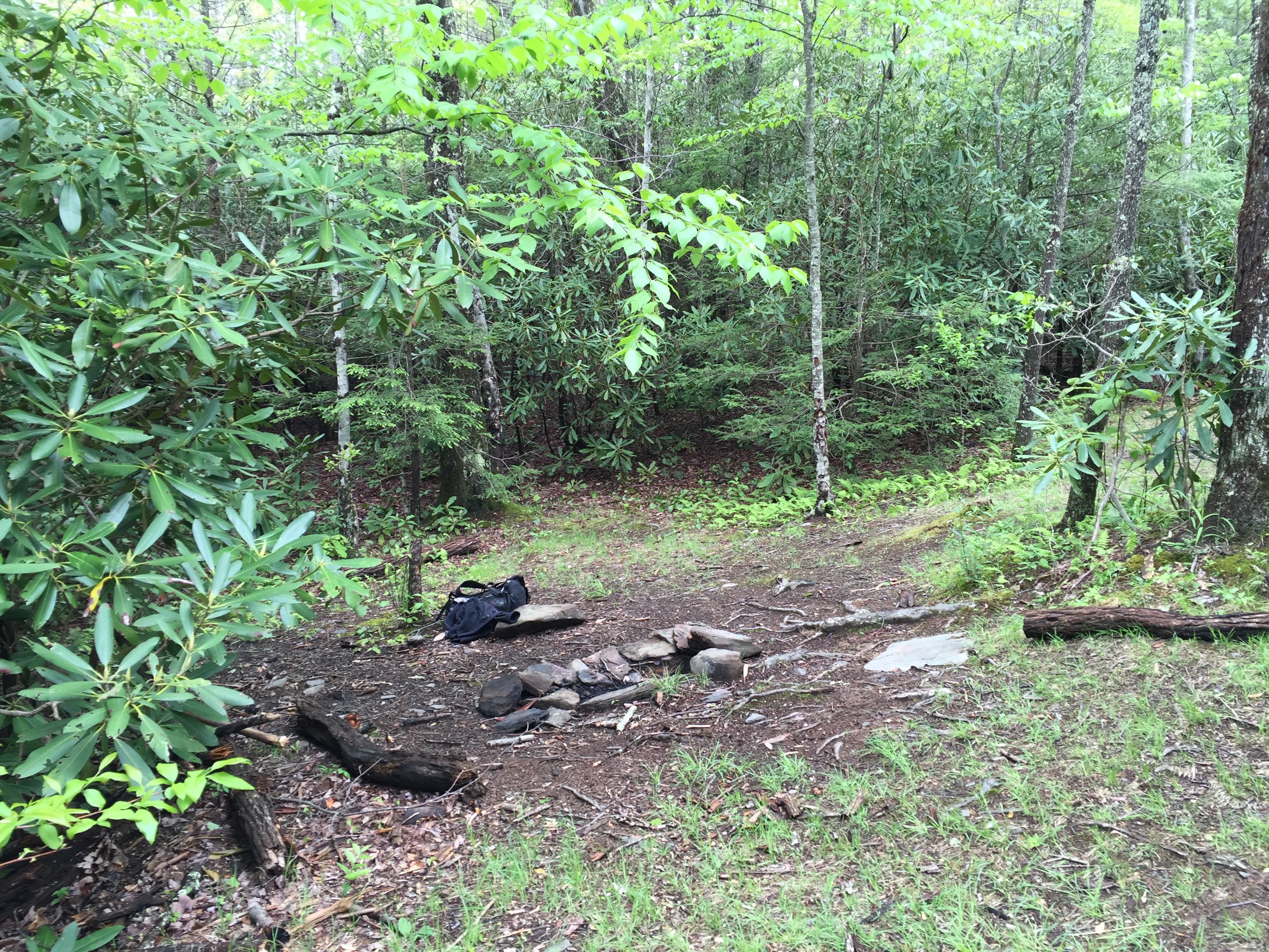
Gilliland Fork Campsite is a bit unusual in that it is arranged in several sections labeled A, B, C, D and E. The first 3 sites are near the creek. A & B have nice grassy spots that appear to drain well for tents. Site C is a little more impacted for some reason and may not drain as well. Sites D & E are about 100 yd’s further up the trail. They are much more secluded although level ground may be a challenge. It seems that often among the flattest best places for a tent is directly under the bear cables and such is the case here. But for hammocks, the upper sites offer much more privacy.
 Rating Summary:
- Well Drained Sites
- Low Impact
- Good Water
- Bear Cables
- Leave No Trace Layout
 Shalom…
