Date: 02.26.2016, 03.11.2016 – 03.12.2016
Miles: 10.7 miles Elevation Gain: 1150↑ Elev./Mi: 107.5 Grade: 2%
Difficulty: Class 2
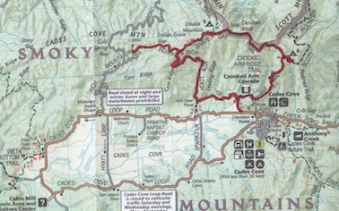
Section: Cades Cove
 Cooper Road Trail presents a host of options for different loop hikes leading out of Cades Cove and Abrams Creek Campground as it intersects with 5 different trails and has two distinct trailheads. As for hiking it is downright delightful in that it only climbs 1,100 feet over its 10.7 miles. It is definitely one of the longer treks in the park if hiked one-way but that is the challenge. It really doesn’t fit in a one way scenario, nor does it work as a simple loop. For the 900 miler, it will end up being hiked in several sections over a few days. Such is the case here.
  Cooper Road was a main thoroughfare servicing Cades Cove before the establishment of the Park and much of it enjoys wide double track and relatively well graded terrain as any former roadway or railroad bed. In fact, Rich Mountain Road and Parsons Branch Road were similar in their day and the Park Service chose to maintain them as access roads.
There are a few access points. The trailheads are at Cades Cove Road on the east end and Abrams Creek Campground on the west end with ample parking at both. The third access point is via the Goldmine Road Trail about 2.6 miles from the Abrams Creek Trailhead. Surprisingly, there is only one campsite directly on the trail, which is CS #1 about 1 mile in from Abrams Creek at the trail junction with Little Bottoms Trail. CS #2 is reasonably close at 06. miles down Cane Creek Trail.
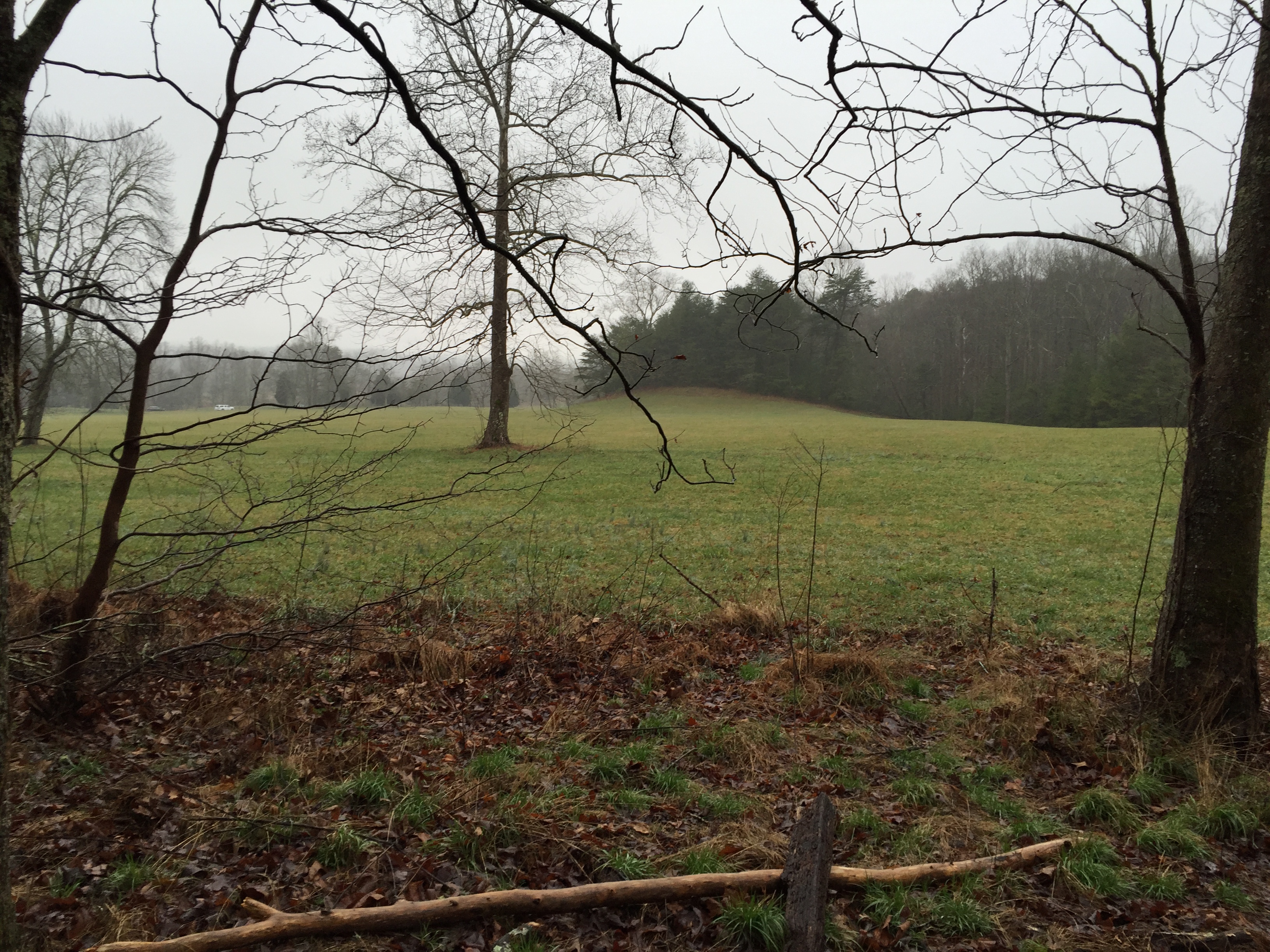
Cades Cove to Hatcher Mountain
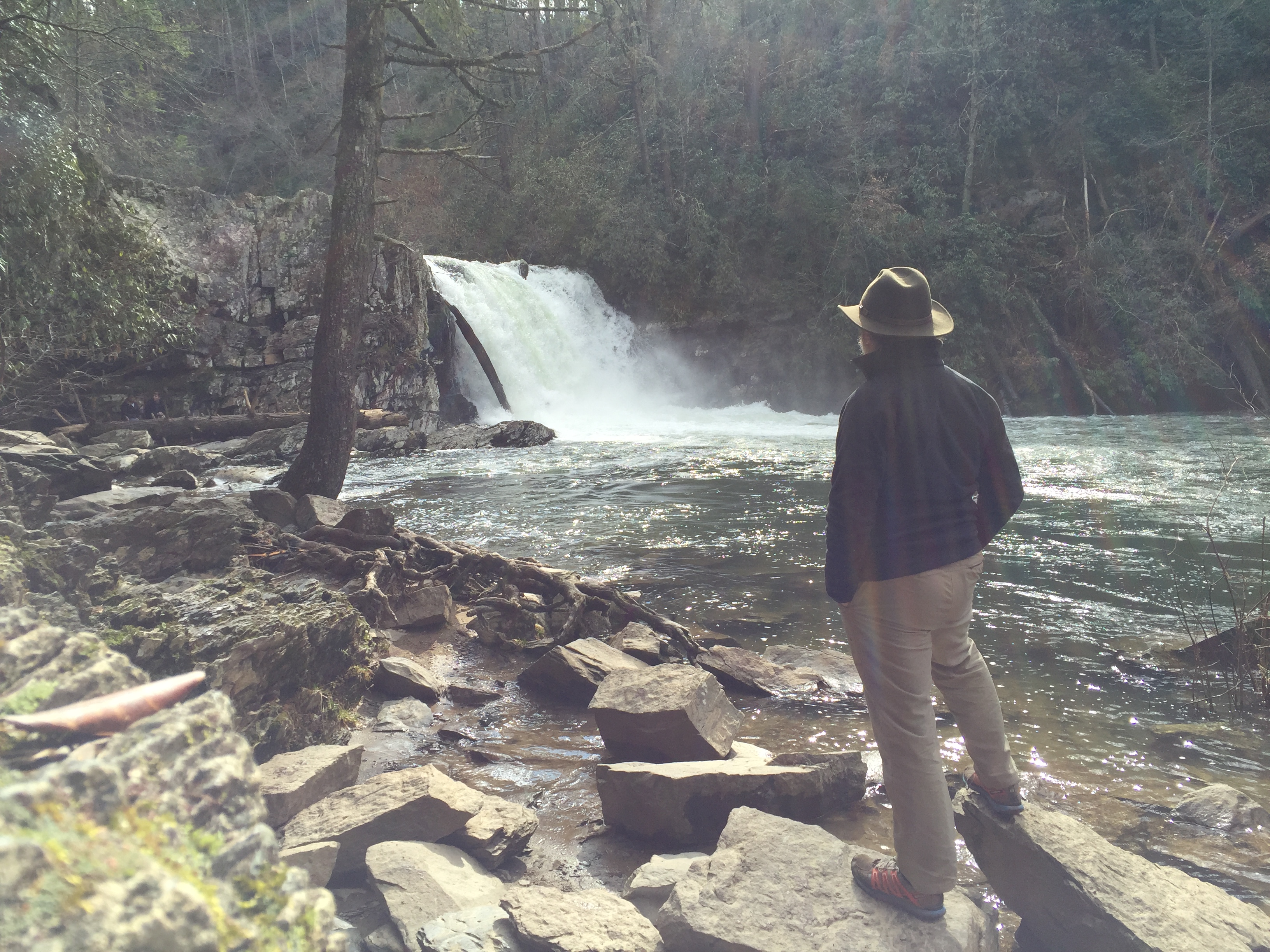
 The first section completed was part of a loop hike that included Abrams Falls. The section started at the Cades Cove trailhead. It was 39 degrees and overcast on the morning of Feb 26, 2016. At 0.2 miles, the Wet Bottoms Trail intersects to complete a nice loop trail around
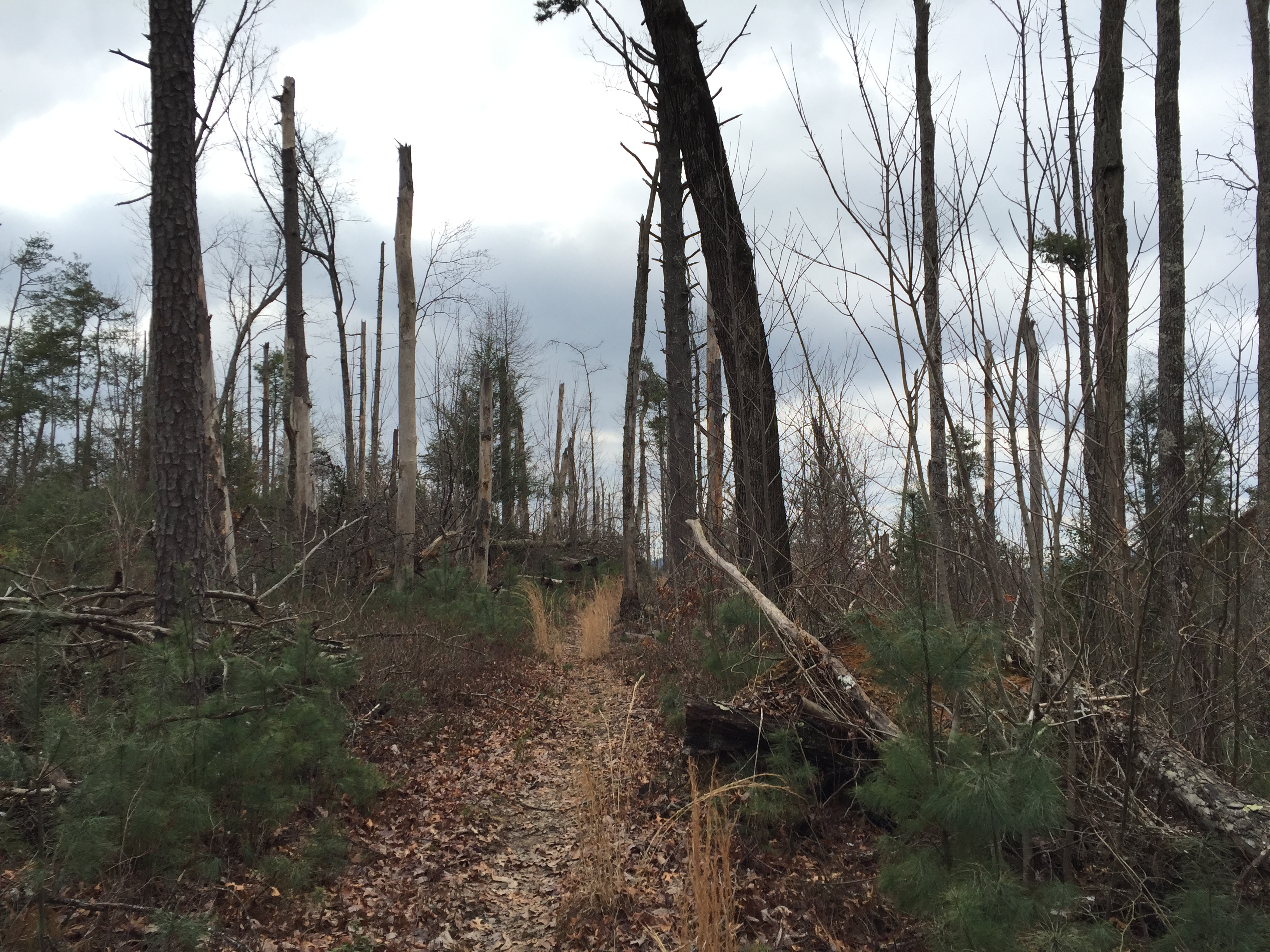
  Abrams Falls. At 1.0 mile, the trail rises gradually and levels off to a nice rolling stroll. A concrete bridge appears at 1.4 miles as the trail crosses Arbutus Branch. A moderate climb continues to about 1.7 miles where views appear although on this day, the clouds robbed the hiker of any panoramic landscape. The trail reaches a ridge at about 2.5 miles and continues fairly flat before a slight descent at 3.0 miles. At 4.0 miles, you cross Stoney Brook in a rock hopper. Two prongs of Wilsons Branch are encountered around 5.0 miles that are negotiated with some skillful rock hopping. Following the two creek crossings, there is a bit of overgrown brush and briars that only last a few hundred yards or so. There is some blow-down evidence in this area accompanied by some pine tree growth. At 5.7 miles the trail intersects with Hatcher Mountain Trail and continues on to Cane Creek Trail which is 1.8 miles ahead. For this hike, I left Cooper Road down Hatcher Mountain to make the Abrams Falls Loop.
Abrams Creek Campground to Goldmine Road Trail
 Continuing on the trail description is going to be a bit tedious and out of sync as the next section was hiked starting at Abrams Creek Campground as part of a 2-day backpacking trip that occurred March 12-13, 2016. The trailhead is at Abrams Creek Campground where there is good parking, even
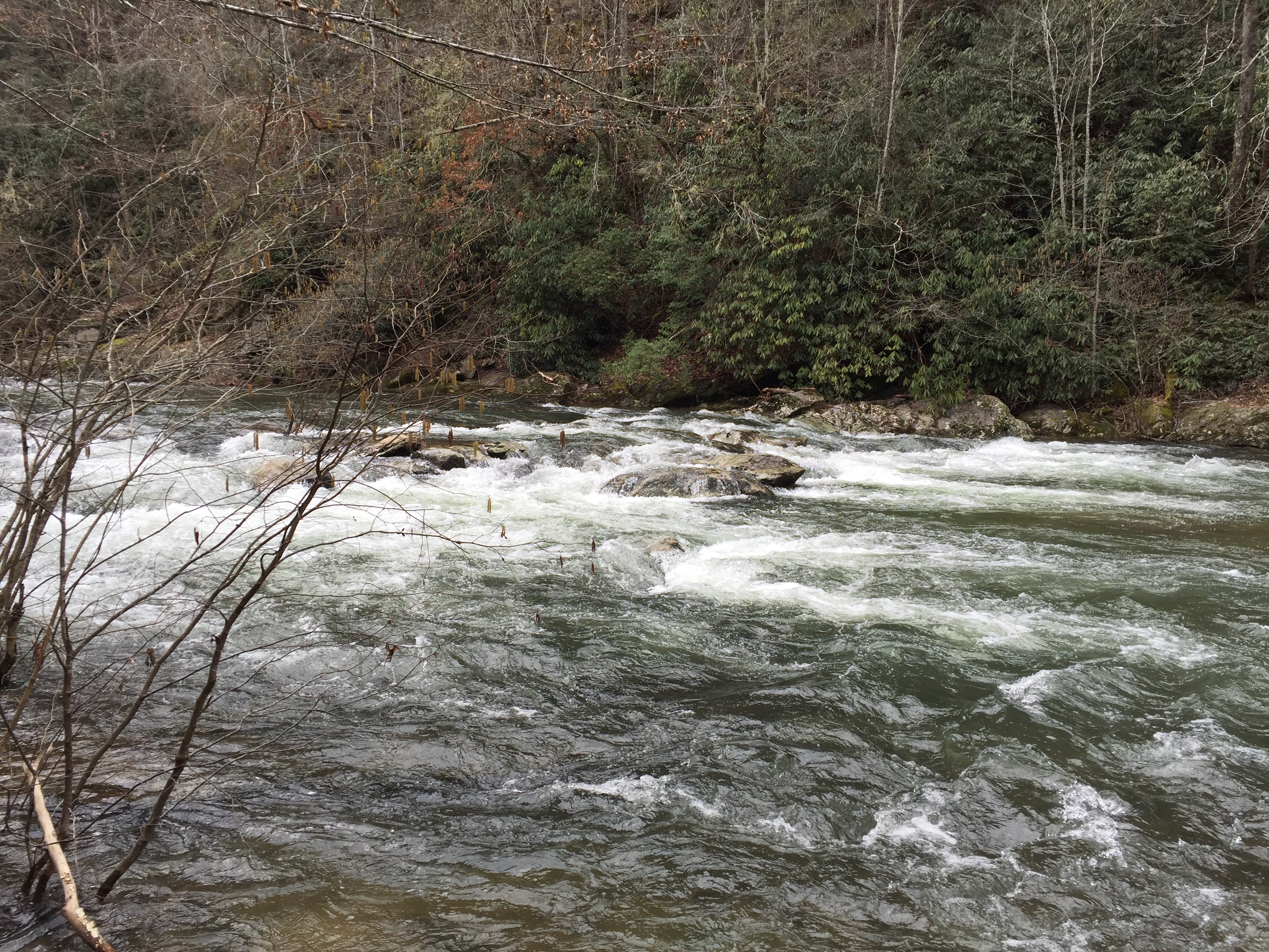
 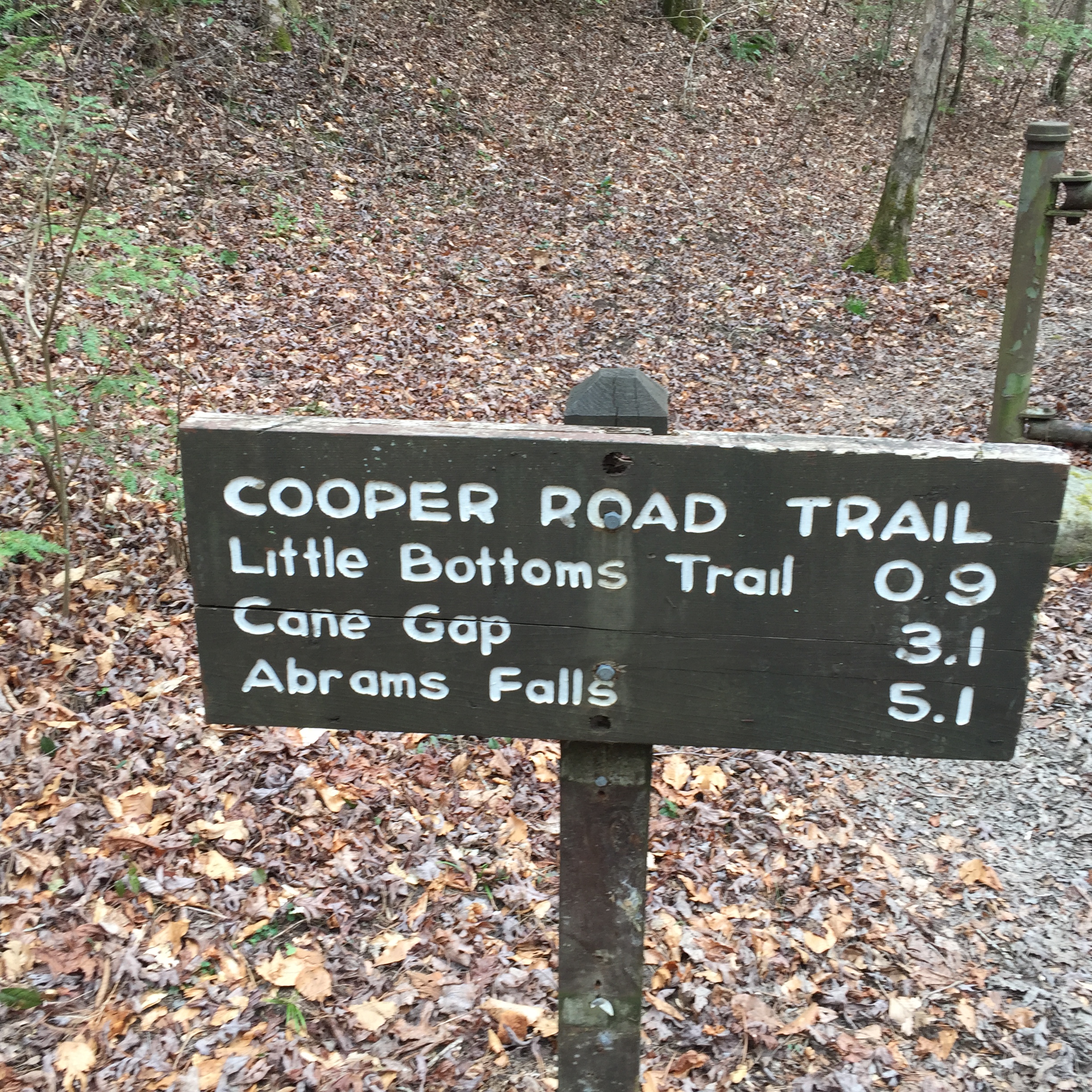 in the off-season when the campground is closed. The trail begins at the back side of the campground and continues for the first mile or so along Abrams Creek. The trail only ascends 250 ft. over this 2.6 mile section making the climb barely noticeable. At 0.9 miles, the Little Bottoms Trail intersects from the right and Campsite #1 is just beyond. It is fairly nice site, especially being so close to a trailhead. By now the trail picks up and follows Kingfisher Creek for the next mile. At 2.6 miles the trail intersects with the Goldmine Road Trail, which leads 0.8 miles to the Top Of The World Community on Chilhowee Mountain.
Goldmine Road to Cane Creek Trail
 From Goldmine Road, the friendly stroll continues almost flat to Cane Creek Trail in 0.6 miles. Campsite #2 is about 0.6 miles down Cane Creek Trail.
Cane Creek to Beard Cane/Hatcher Mountain
 The first 1/4 mile from Cane Creek is the first indication that Cooper Road Trail climbs at all, climbing nearly 200 ft, which is 800 ft. per mile but it quickly levels out for more of the very gentle climb this trail has enjoyed from the trailhead. This 1.8 mile section was complete in 32 minutes which is a 3.3 mph pace… with a backpack. A testament to how level the trail is in this section. The section ends at the intersection with Hatcher Mountain Trail and Bread Cane Trail. From here it is 5.7 miles back up to Cades Cove.
 Shalom. Strider Out…