Date: 03.26.2016
Miles: 3.5 miles Elevation Gain: 1,742↓ Elev./Mi: 497 Grade: 9%
Difficulty: Class 5 Hiking Time: 1:05 Pace: 3.3 mph Avg. Temp.: 65
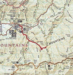
Section: Cades Cove
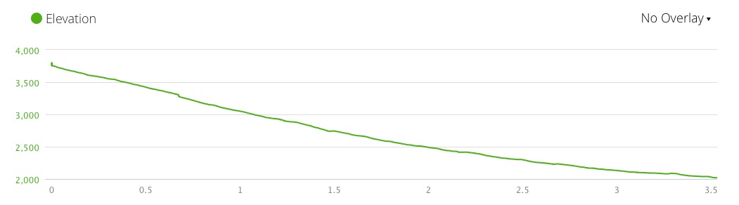
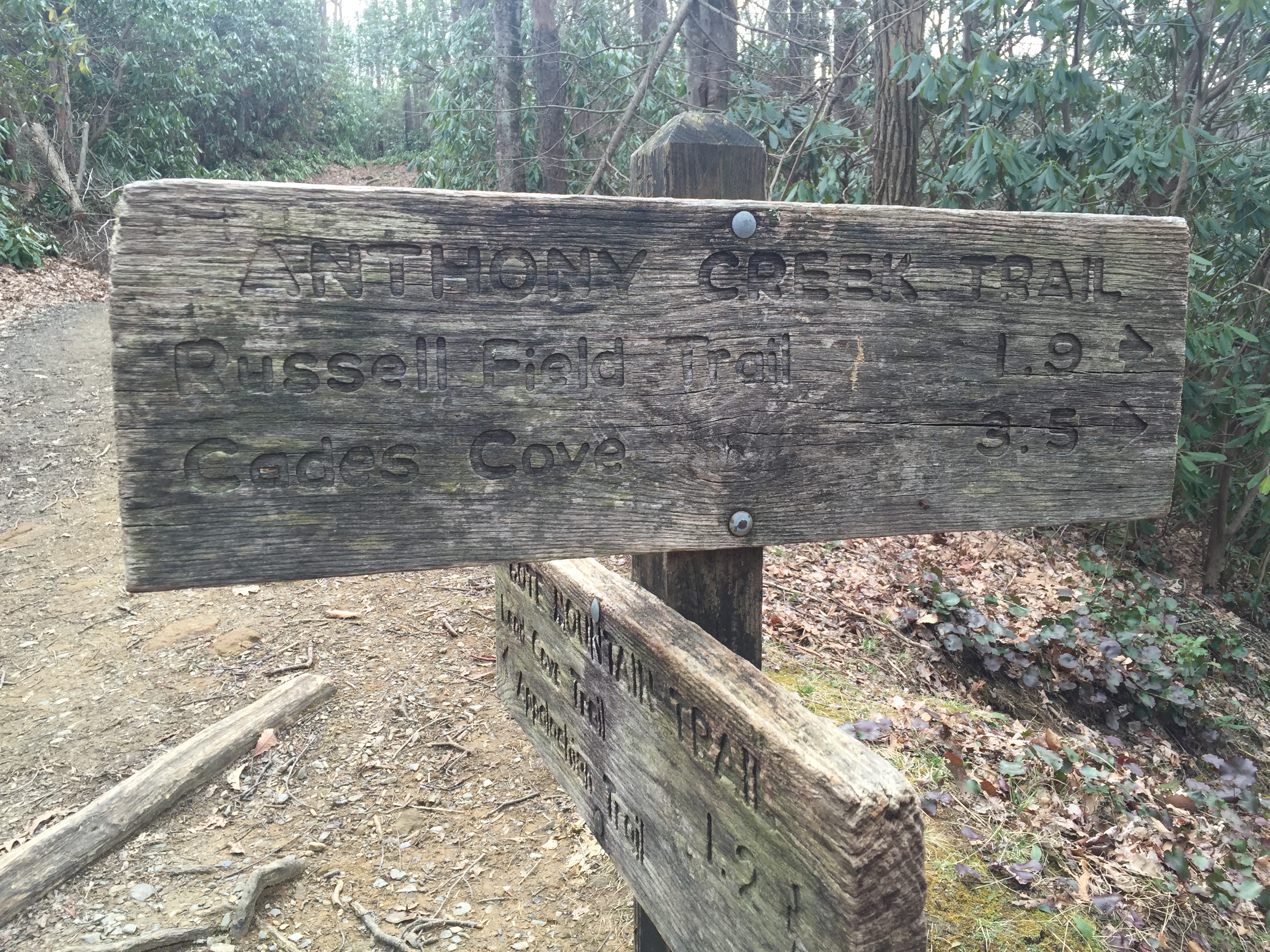
Anthony Creek Trail is quite popular as it is an access trail to several features of the Park that include two shelters on the AT, the lovely Russell Field and Spence Field. It is also an access to Thunderhead and Rocky Top via the Bote Mountain Trail and a short section of the AT. This hike was documented in a Lolly Pop Loop route that included Russell Field Trail, the AT and the top section of Bote Mountain Trail. Through it’s entirety, the trail follows a creek, which the guidebooks designate as its namesake, Anthony Creek. However, the GPS map seems to indicate that Anthony Creek and Left Prong Anthony Creek merge to form Abrams Creek near the junction with the Russell Field Trail. This is the preferred story if for no other reason than it introduces the headwaters for Abrams Creek, itself having significance for this hiker. For this entry, the trail is documented from the intersection with Bote Mountain to the trailhead at Cades Cove Picnic Area as that was the direction in which the trail was hiked in its entirety. Most hikers will encounter it from the trailhead. The calculated grade is 9% but the class 5 difficulty rating comes from the fairly steep and rocky section at the top of the trail. There is ample water and Campsite #9 is on the path.
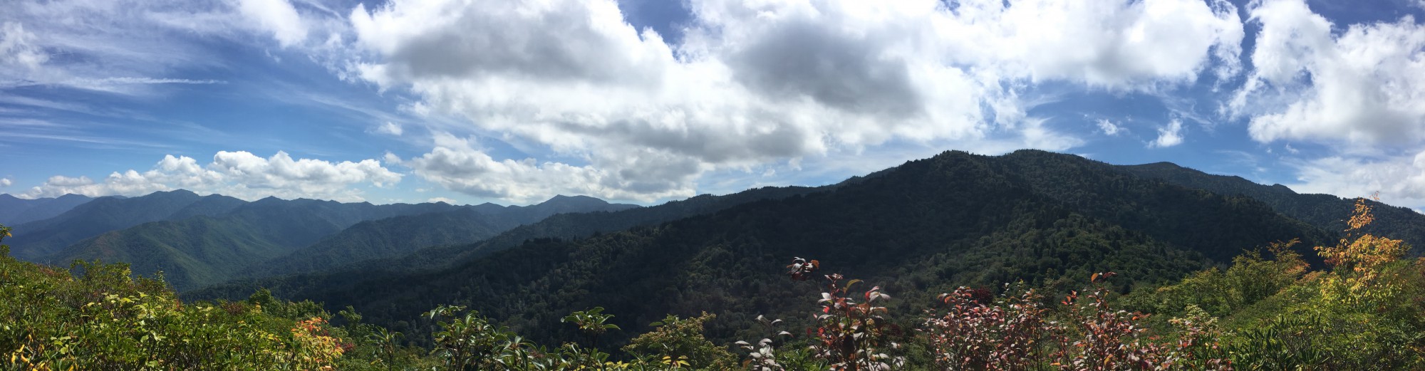
 Anthony Creek Trail starts at 1.7 miles north of the AT at Spence Field on the Bote Mountain Trail. Bote Mountain Trail starts off fairly steep at 12% and that trend continues with Anthony Creek. At about 0.3 miles, a view of Cades Cove opens up through the trees. At 0.5 miles, you can hear Anthony Creek singing songs of welcome and at 0.6 miles the trail joins the creek at a large switchback. The trail and the creek are in companionship all the way to the
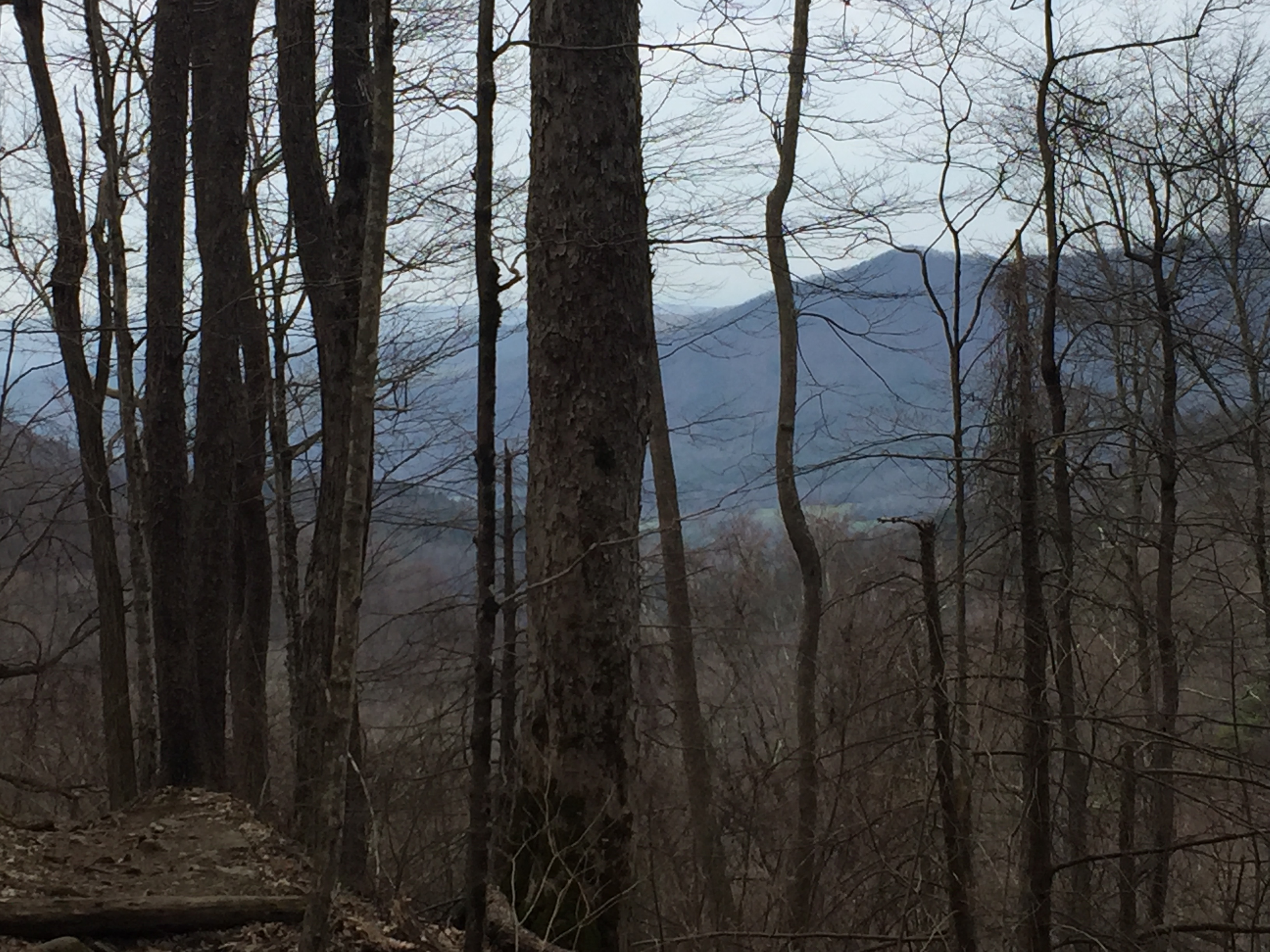
View of Cades Cove from Anthony Creek
trailhead. At 0.7 miles is Anthony Creek Campsite #9 which is a very large and popular campsite. There are at least 5 fire rings indicating just how popular this campsite is. Through the summer months, on weekends, expect crowds. At 1.3 miles the descent continues at about 9% grade. At 1.9 miles you reach a footlog over Left Prong of Anthony Creek and you pass the intersection with Russell Field Trail leading 3.5 miles to the AT at Russell Field Shelter. At this point, two prongs of Anthony Creek come together to form the headwaters for Abrams Creek. Over the next mile

Campsite #9
or so, the grade levels a bit and the trail becomes more merciful to the feet. There are a few creek crossings over footlogs. At 2.2 miles the gravel road returns. All along this stretch are a number of nice cascades keeping one company courtesy of Abrams Creek. The Anthony Creek Horse Camp opens up at 3.2 miles and Crib Gap trail appears at 3.4 miles. Just beyond is the trailhead at the Cades Coves Picnic Area.
Data Book:


