Every journey has a beginning and an ending. Given that humans are creatures bound by time and space, we tend to measure our journeys with various milestones and devices including clocks and maps and events. All this effort serves to provide the stuff we use to tell the stories of our adventures.
The AT Thru-hiker starts somewhere, usually Springer Mtn., GA and ends, usually on Mt. Katahdin, ME. Thru hikers will count the days and in some cases the hours. They may track dates and locations and miles covered. Rituals mark the start and finish such as signing in at the ranger stations in Amicalola State Park and at Baxter State Park. Packs are weighed. Pictures are taken. Good-byes are said. Tears are shed. Memories are forged.
I suspect with 900 Milers, many don’t mark the beginning of their 900 miler journeys; at least the first time. With me it was an awareness of having hiked several trails and then reaching the point where I decided to start tracking the mileage and the dates of which trails were hiked. As a consequence, the actual “beginning” of the journey is not marked by any ritual or celebration.
But the second map is different. A second 900 Miler is deliberate. One begins with an awareness of what is to come and the challenges ahead. Such an undertaking should be marked with a worthy kickoff. Some sort of event that is befitting a four-year project such as starting on an iconic mountain. Perhaps a unique challenge that is difficult and memorable. Perhaps it is an activity for which the answer to the question “Why?” is difficult for the casual observer. Perhaps the answer to that question is simply, “because I wanted to see if I could…”

Mt. LeConte – Sunset from the Lodge
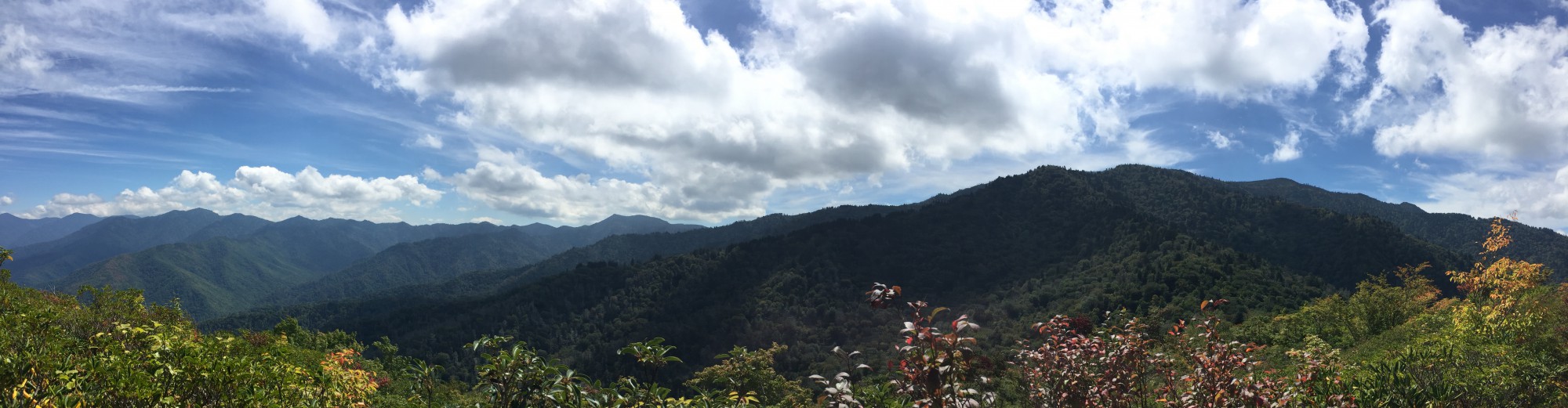
So why not hike all the trails up Mt. Leconte? In 24 hours? It’s a 45.7 mile challenge and it’s doable. I know this because I did it 4 years ago. That hike was documented in detail at www.leconte24.com. My original hiking partner for that hike was Brian Thomas and he is joining me again for this chapter. From what we learned the first time, Brian designed a route that minimizes altitude climbing and shuttling between trailheads. With this new route, we hope to cut 2 hours off our original time of 22 hours and it will save about 900 feet of climbing.
Here is the new itinerary:
- Park at Rainbow Falls/ Bull Head Trail head
- Up Rainbow Falls (4,000 ft.) – Down Trillium Gap
- Up Bull Head (4,000 ft.) – Down Alum Cave
- Shuttle to Newfound Gap
- Up Boulevard (3,724 ft.) – Down Brushy Mtn.
- Car at Brushy Mtn. Trailhead in Greenbriar.
Date and time: Saturday, September 19, 2015, 9:00 am EDT.
And so it begins…
