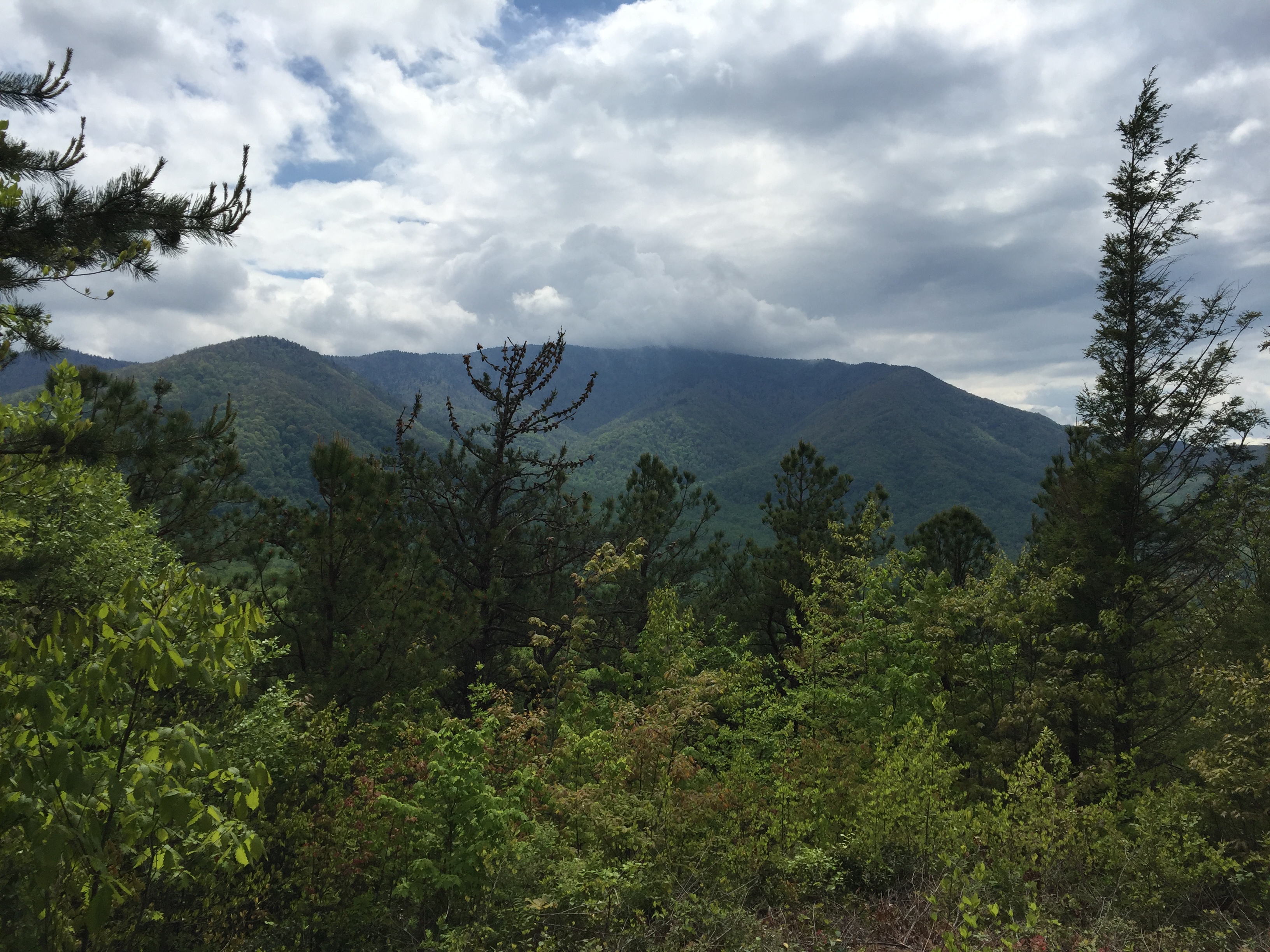
There are a number of things that make hiking out west different from hiking in the Smokies. Elevation is one thing. From what I can tell, I’ll be spending most of my time above 10,000 feet. Mt. LeConte is 6594′. Clingmans Dome is 6644′. The tallest mountain in the east, Mitchell, is 6683′.
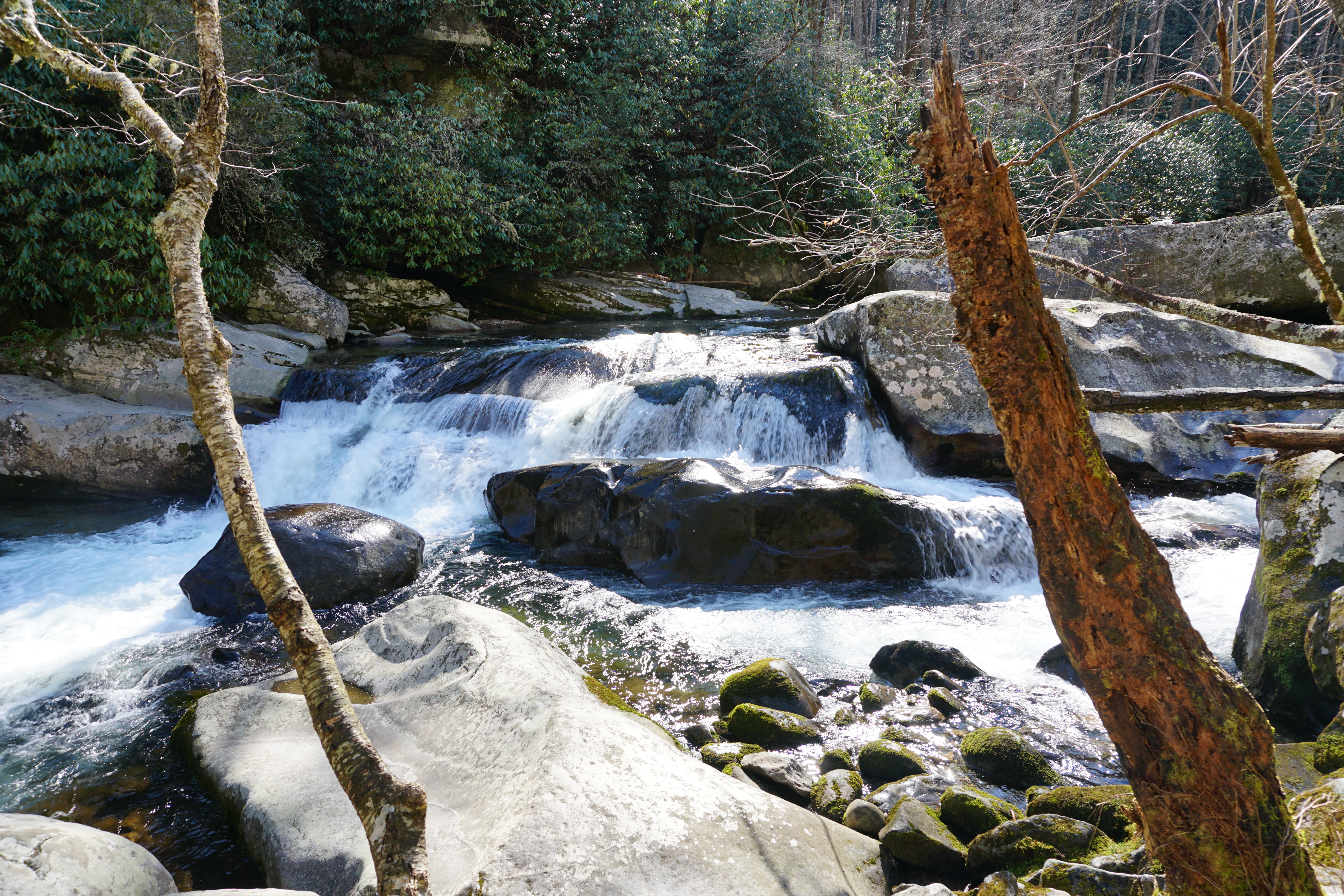
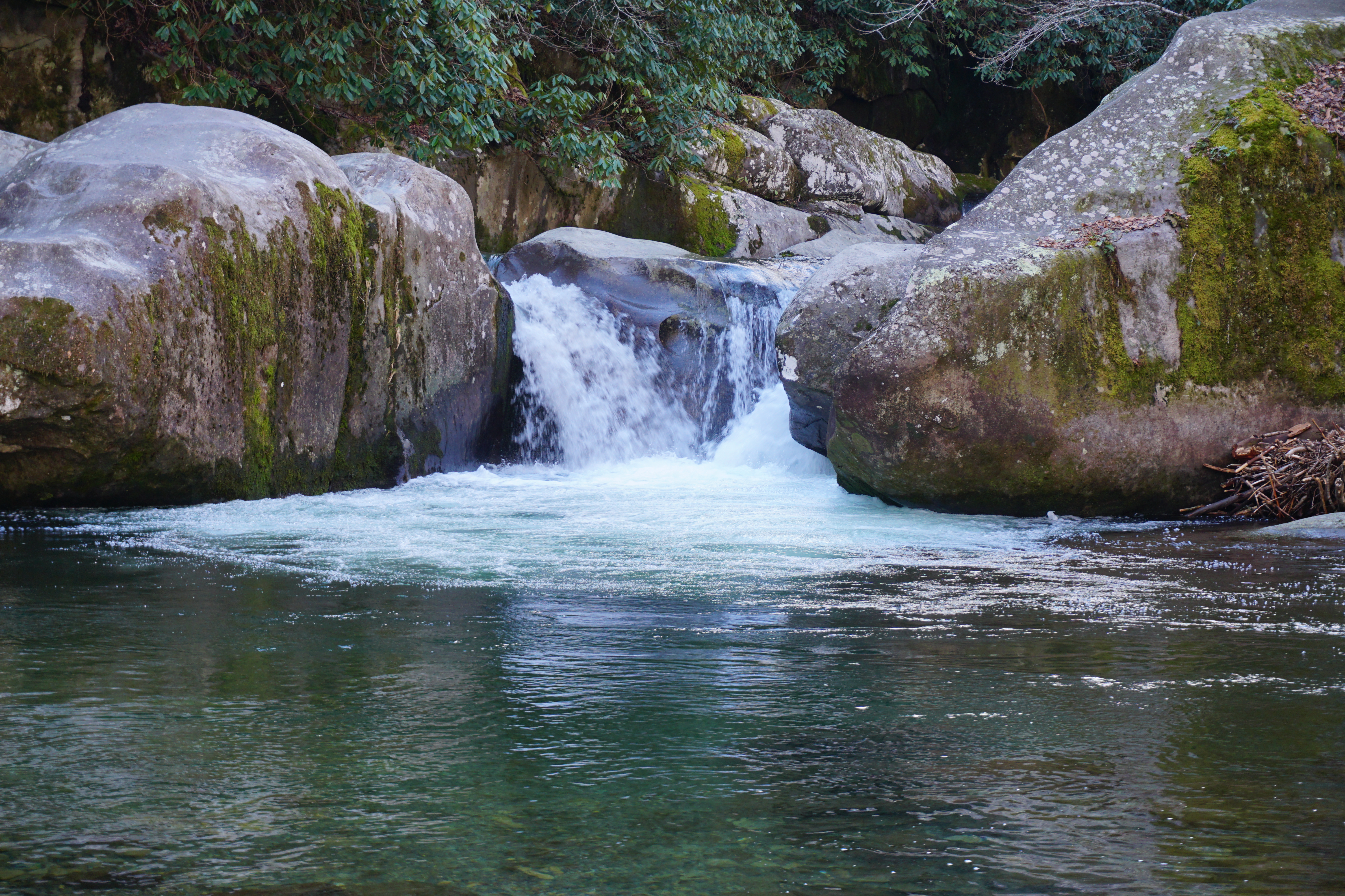
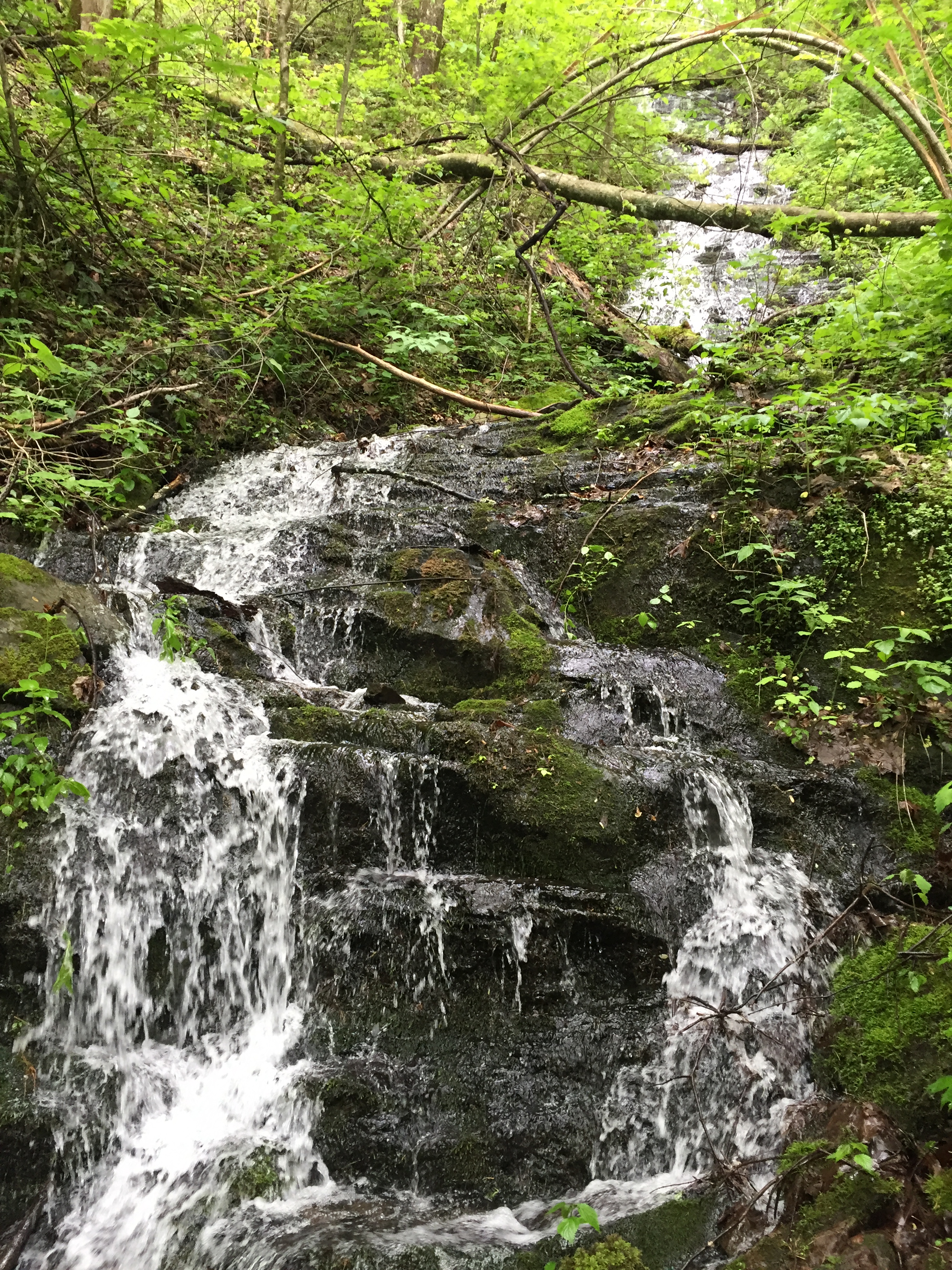
At those elevations, one spends a lot of time in the Sierras above tree line, which occurs around 9,500′. No trees, no hammocks or bear bags. And no bear cables like we are accustomed to in the Smokies. But there ARE bears.
To that end, the Park Service and the National Forest Service require bear canisters for storage of all smellables like food, toothpaste, sunscreen, deodorant (deodorant, really??? People take deodorant???). No one ever talks about whether body odor smells like food to bears or mountain lions.
Bear canisters are available for rent, I have read, but I decided to go ahead and get my own. I chose the Bear Vault BV 500. I’m not sure what the “500” means. It holds 700 cu.in. or 11.5 liters and it’s 12.7 in high and 8.7 inches in diameter. And… it weighs 2lb 11 oz. REI price: $80.
The upsides are it is guaranteed bear proof, although there are pictures in blogs where they have failed, you don’t have to hang a bear bag, and it provides a great seat upon which to rest while cooking dinner. At the end of the day, you just set the can 200 feet away from the tent and hope no one plays overnight soccer with it.
The downsides – big and heavy and expensive. The BV 500 is among the cheaper options. They can go as high as $200 and weigh over 3.5 lb. All this light weighting I am trying to employ goes away when you add nearly three pounds of food container, making it the heaviest single item in my pack. And unlike a good water proof food bag, it does not get smaller when you eat the food.
That’s I have to say about that…

Shalom –
Strider out!
 Strider Out!


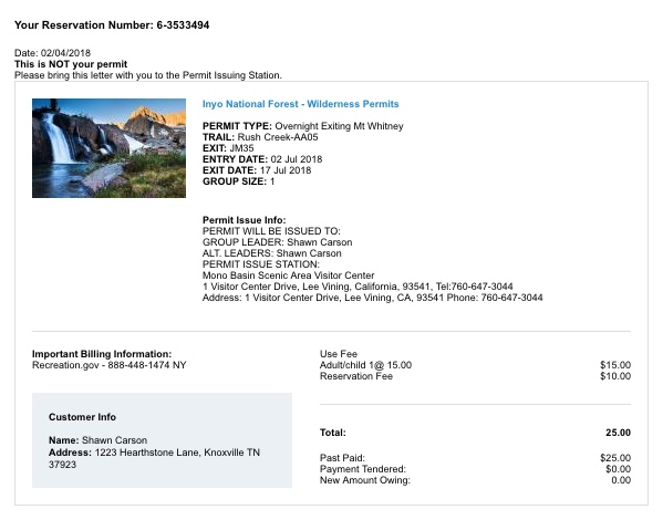
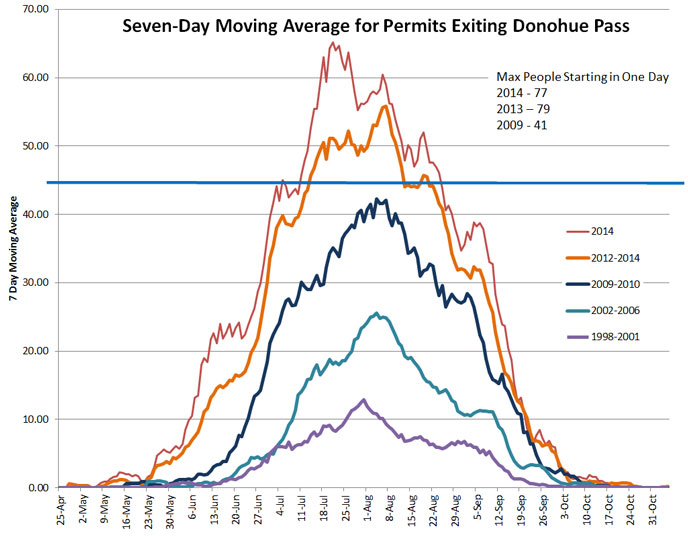 The Park Service and the US Forest Service have an impossible task. With serious under-funding, they have to find a way to manage millions of visitors while trying to maintain the integrity of the wilderness experience, not to mention the wilderness herself. And so they implement controls and bureaucracy. Perhaps the most difficult part of hiking the JMT is actually the permitting process and the blogs fail to point that out beyond a brief mention that you can apply for your permits six-months in advance. The National Park Service issues 45 permits a day to exit Donahue Pass. During my efforts I was told by the Park Service that the chances of getting a permit in advance for July are about 5%. I have an email folder with no less than 32 denied permit requests. The other option for Yosemite is to show up the day before you want to start your hike, hoping to get one of 10 walk up permits issued each day. That guy five people in front of you getting permits for a group of 6 means you’re done.
  Permits outside Yosemite are managed by the