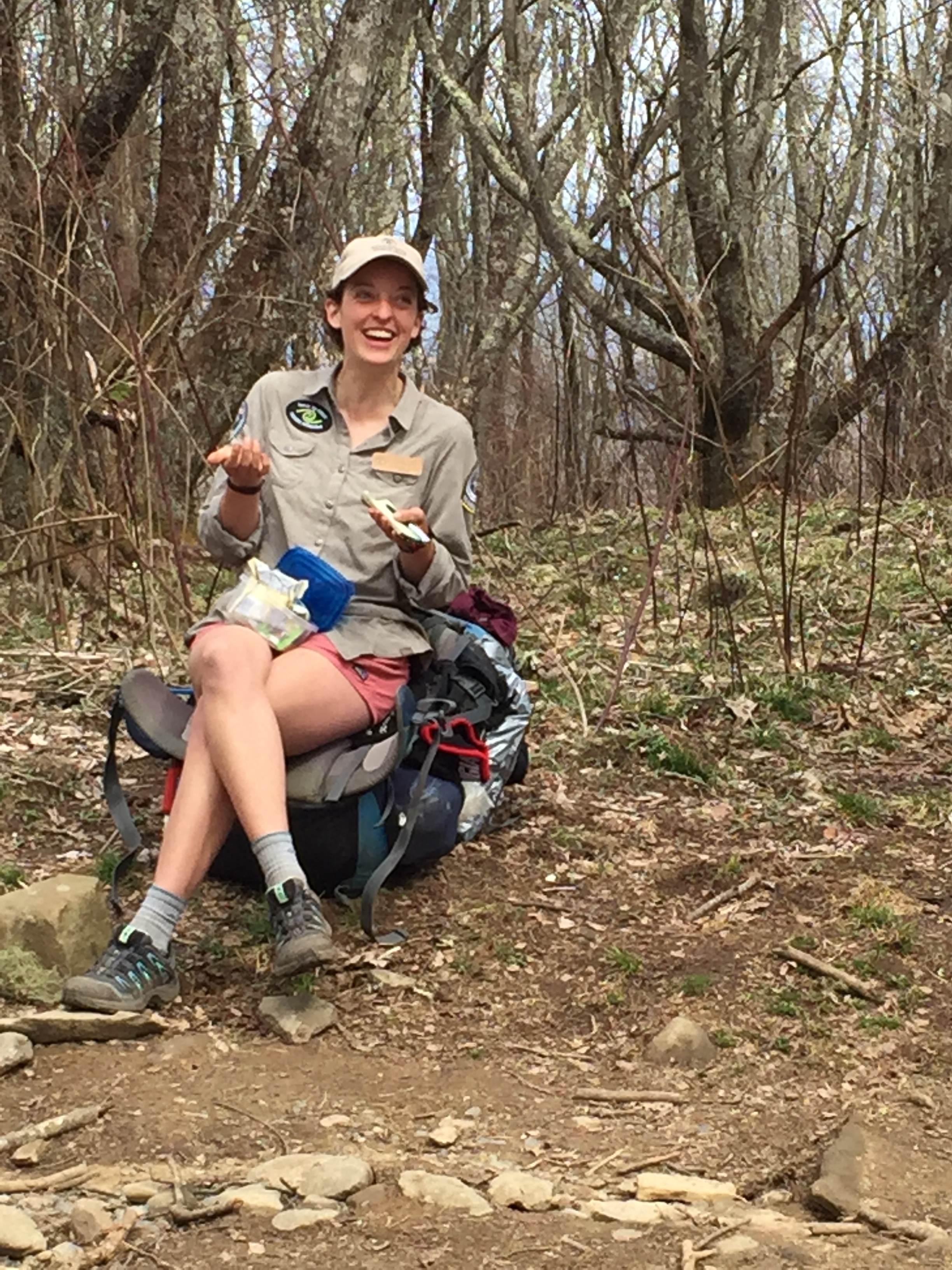
Date: April 29-30, 2016
Miles: 28.2 miles Elevation Gain: 6,087 ↑ Elev./Mi: 216 Grade: 4%
Difficulty: Class 3 Hiking Time: 10:01 Pace: 2.8 mph Section: Oconaluftee
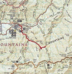
 Route:
- Wet Bottoms Trail to Rabbit Creek Trail 1.0
- Rabbit Creek Trail to Hannah Mountain Trail 5.1
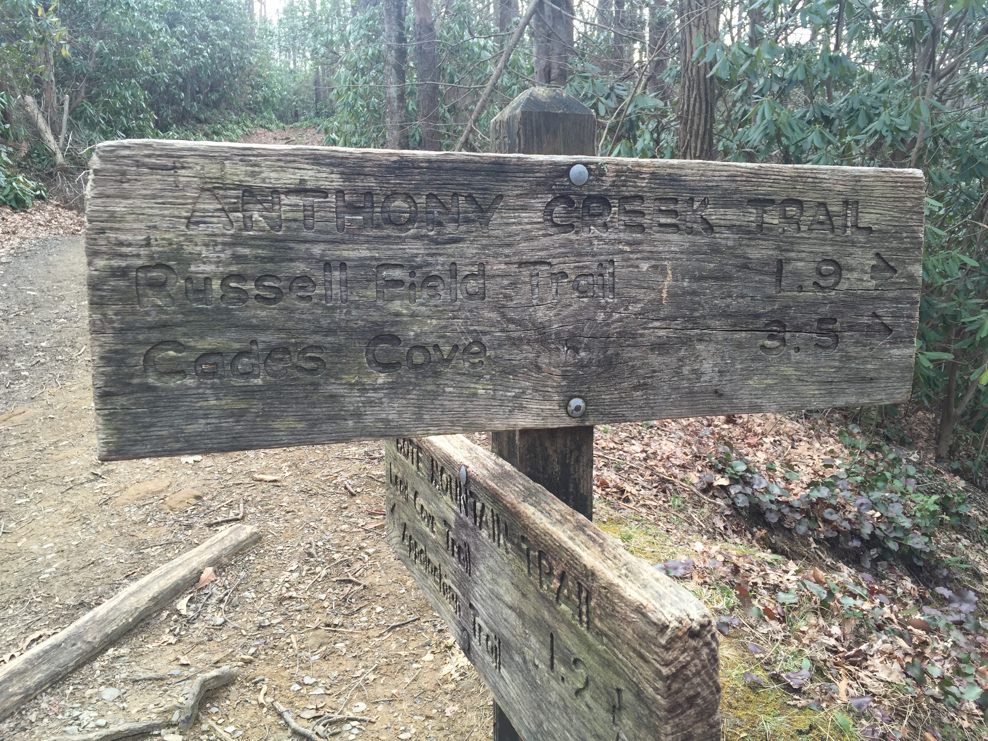
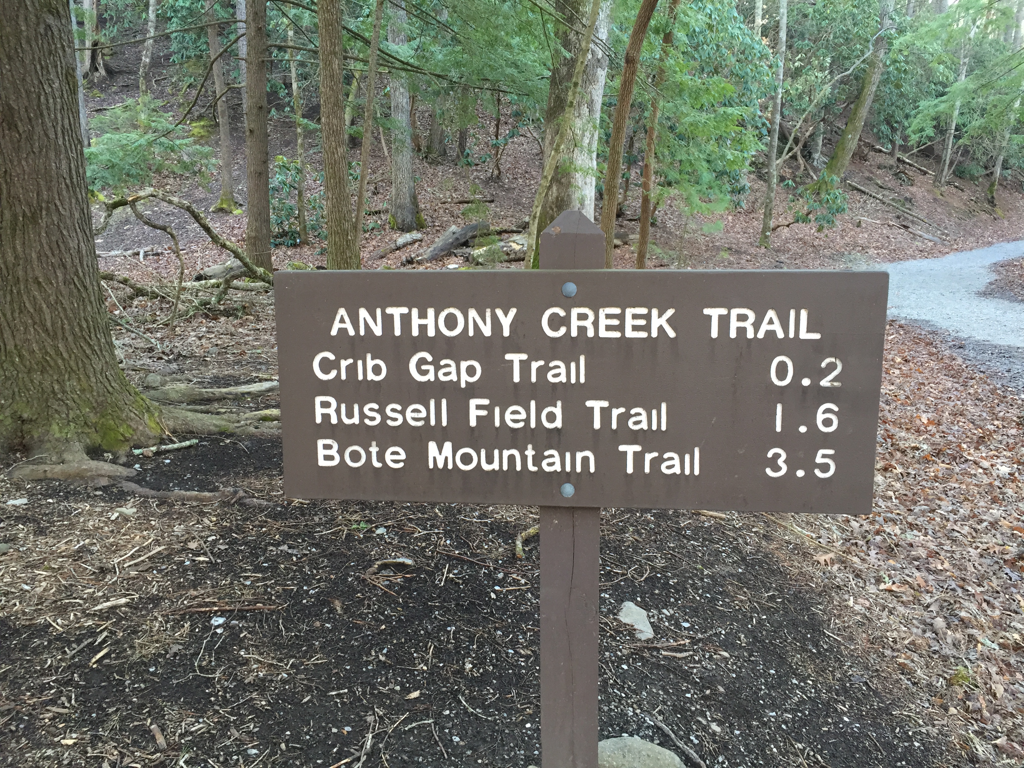
- Hannah Mountain Trail to Parsons Branch Road 7.6
- Gregory Bald Trail to CS#13 4.1
- Gregory Bald Trail (CS #13) to AT 3.3
- Gregory Bald Trail to Gregory Ridge Trail 2.1
- Gregory Ridge Trail to Trailhead 5.0
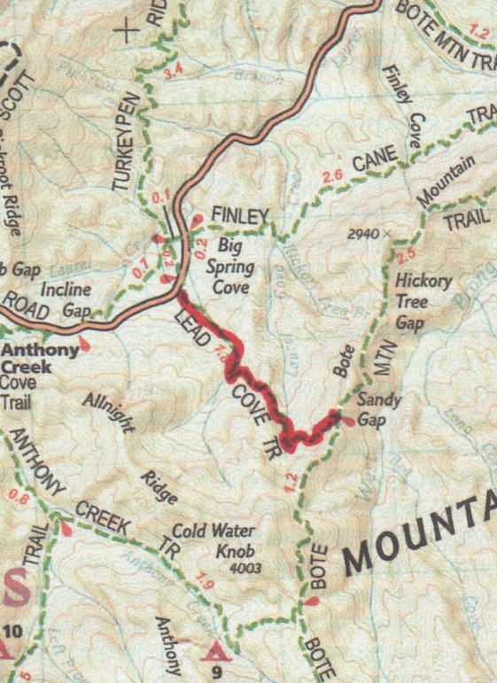
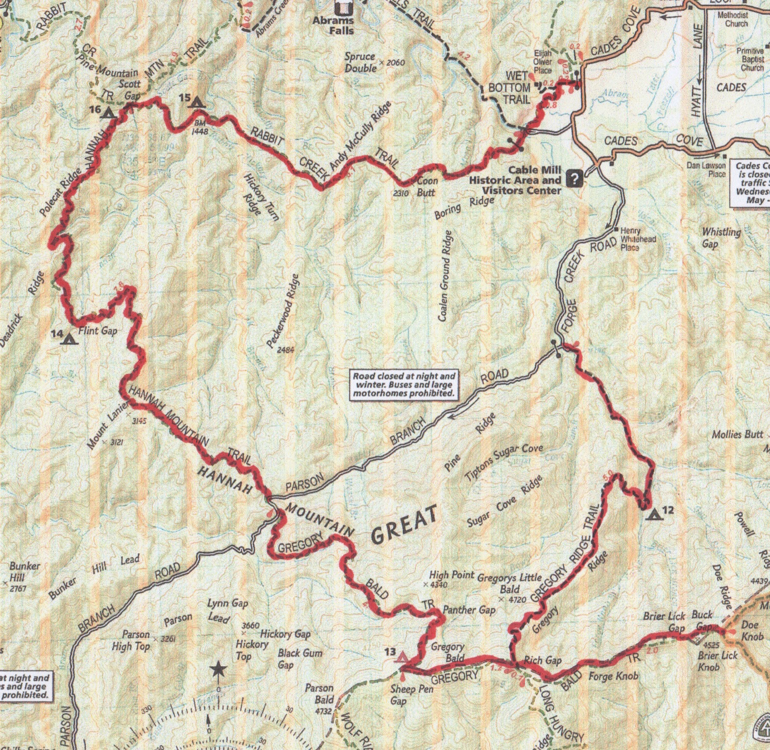
Hannah Mountain Trail presents a bit of a challenge for the 900 Miler. It doesn’t make up a convenient loop and one of its trailheads is on Parsons Branch Road, a one-way gravel thoroughfare leading out of Cades Cove to US 129 (The Dragons Tail) near Fontana. It’s a really long drive to get back to civilization. Compounding the challenge is the fact that Parsons Branch Road is closed through the winter and typically opens early April. Not so this year. Due to numerous blow downs, the Park Service had not opened the road for the season at this point. Gregory Bald Trail presents the same challenge as both trails meet at Sams Gap on Parsons Branch Road. A great solution is to connect them in one big loop. There are a few choices for a trailhead. Abrams Falls Parking area is a good one and you may choose to park at the turnaround on Ridge Creek Road where the Gregory Bald Ridge terminates. Since Wet Bottoms Trail was still on my list to complete, I chose the parking area on Cades Cove Loop near Cooper Road Trail. In any case, the length of Ridge Creek Road would have to be hiked unless I was was lucky enough to catch a lift.

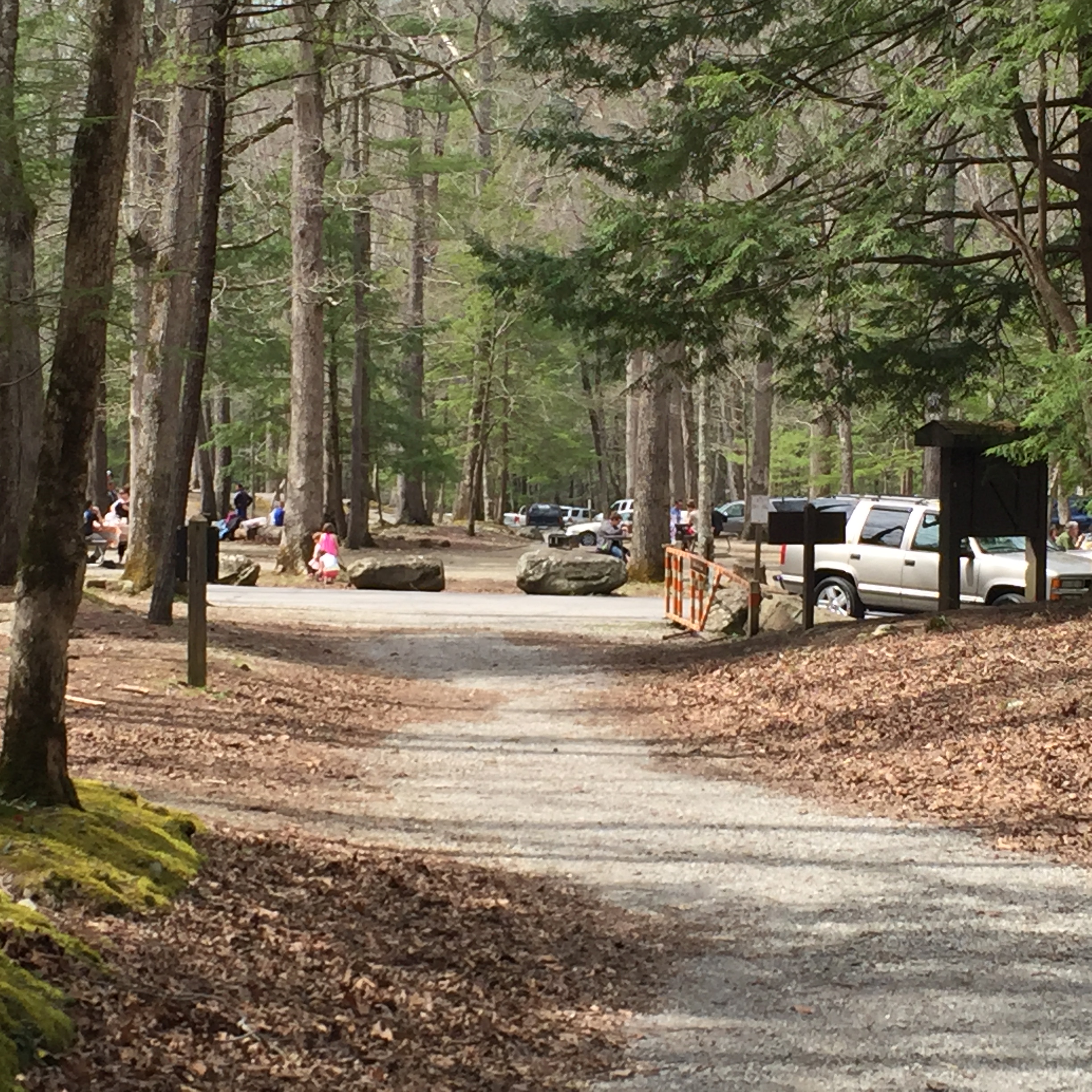
Parking Area at Cades Cove near Cooper Road Trail

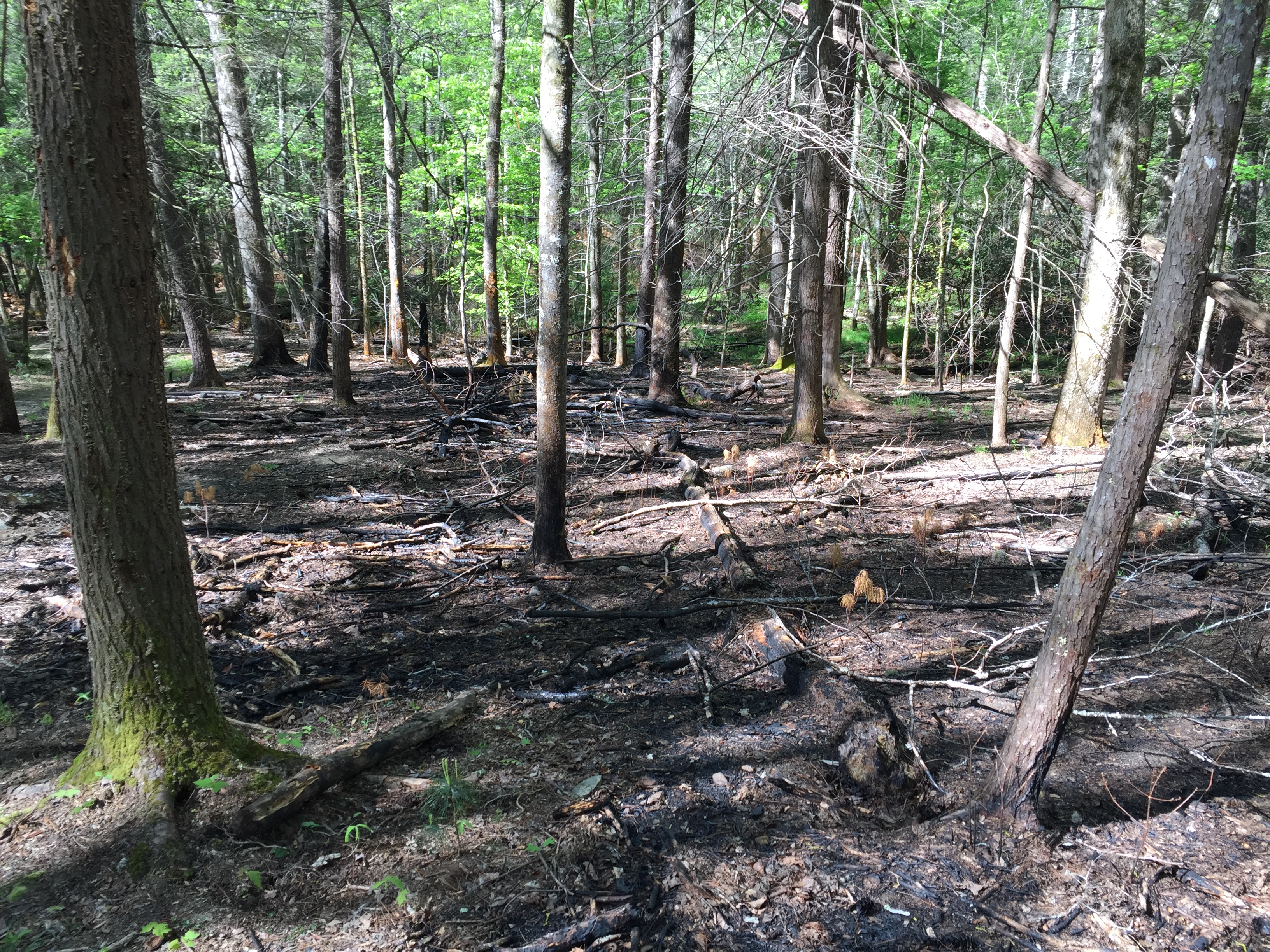
Burned Area on Wet Bottoms
Wet Bottoms is a pleasant saunter as it starts at the intersection on Cooper Road Trail. It descends ever so slightly through a recent controlled burn area and meets up with Abrams Creek. You can ford the creek or you can choose to take the parallel trail to the connector from Abrams Falls trailhead to Oliver’s Cabin. Keeping your feet dry may be a wise goal but if you continue on to Rabbit Creek Trail, your efforts are in vain. Wet Bottoms Trailhead is at the Abrams Falls Trail parking area, which also serves as the trailhead for Rabbit Creek Trail
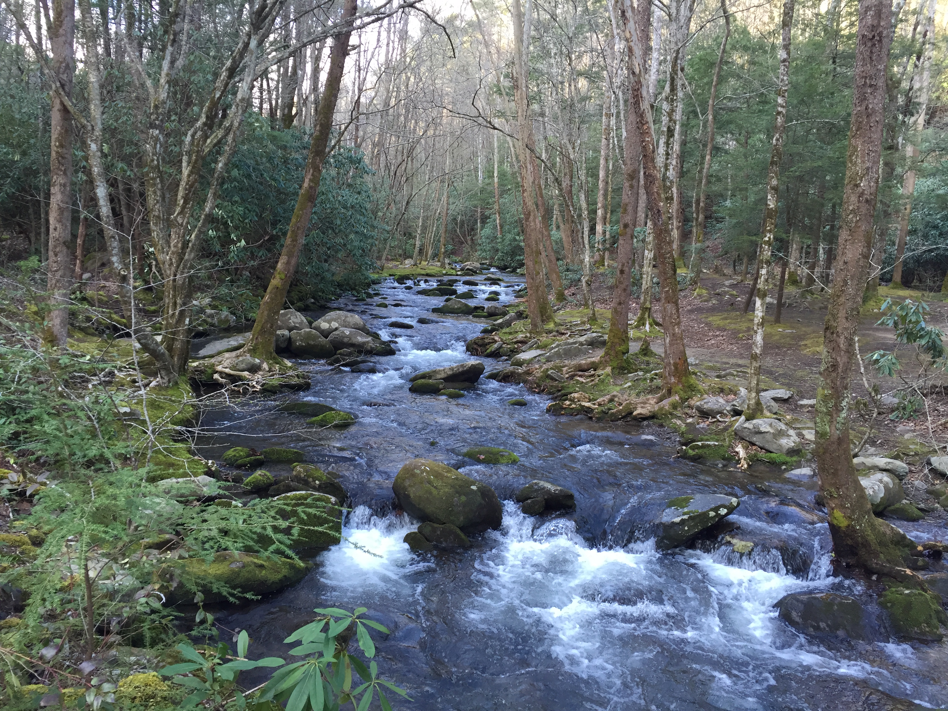
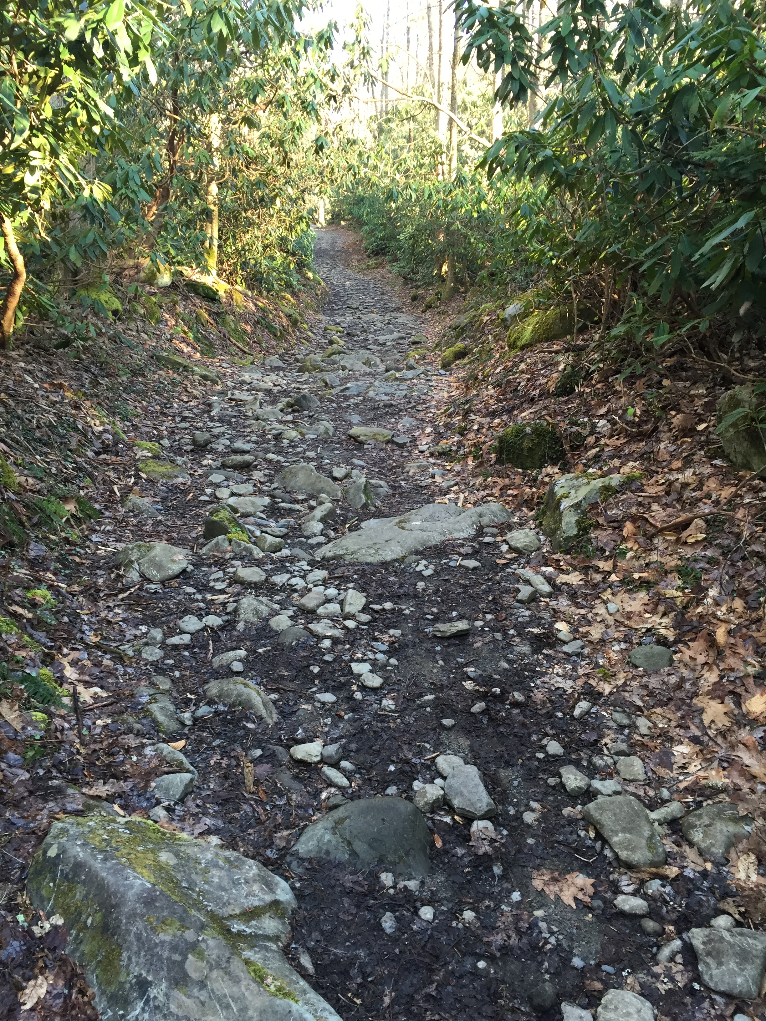
 Rabbit Creek Trail is 7.8 miles long. It crosses shallow Mill Creek near it’s confluence with Abrams Creek upon leaving Cades Cove and it fords Abrams Creek at the other end at its arrival in Abrams Creek Campground. It is a refreshing start to a full day of hiking. The trail is an old mountain road and ascends steadily over 2.5 miles up Boring Ridge through a pine forest. There are a couple stream crossings in this section. Once the trail leveled off, I looked ahead and saw the
  rear end of a bruin brother fifty yards or so ahead. If the relationship with brother bear is as it should be, he smells you and is gone by the time you pull your camera phone out of your pocket. Such was the case in this moment as he caught my scent, snorted his surprise and took off. This was my first bear of the season and judging from what I have heard, it is going to be a great year for bear encounters. Not to be outdone, the community of wild hogs made their acquaintance not more than a half mile further down the trail, represented by a sow and her brood of about 8 piglets. With a loud snort, she alerted her family to exit the trail quickly before I had a chance to capture their picture as well. The trail descends gently toward Campsite #15. There are 5 campsites on this route and this is the first at 4.1 miles. A quick review of the site and I was off to finish the section at the intersection with Hannah Mountain Trail.
Campsite #16 is at the intersection with Hannah Mountain and Rabbit Creek Trail. It is the site of a former shelter and is nicely secluded from the trail. After a short break, the hike continued down Hannah Mountain Trail. For four miles, Hannah Mountain rolls along through mixed pine forest. It is the kind of hike that provides good time for contemplation as the hiking is effort free and there are few obstacles to negotiate such as creek crossings. Bear number 2 introduced himself about 2 miles into Hannah Mountain Trail. Our meeting again kept the typical protocol as he did not pose for pictures. Campsite #14 arrives at Flint Gap at 5.1 miles. The pine forest makes for good cover but the site may not be great as it has few level sites for tents. The trail basically splits the site and the fire ring is a mere few feet off the path. I was not able to locate the spring suggested as the water source in an older guidebook but there is good water about 400 yd. down the trail as it crosses Hannah Branch. The trail begins a steady ascent once you leave CS #14 climbing about 600 ft in the next mile. The last couple miles are level as the pine forest continues to the trailhead at Sams Gap.
 Sams Gap has a rather interesting memory associated with it. The last time I was here, I was taking a break/nap when a guy on a bicycle came up Parsons Branch road. He saw me and hit the breaks, falling down in front of me. He got up unhurt and looked me in the eye, calling me by name. With sunglasses and a bike helmet, I couldn’t recognize him but when he spoke I saw it was a good friend, Barry Lucas who lives in Townsend. Barry is prolific cyclist and was out for the day on a huge loop from Maryville, over US 129 and up Parsons Branch to Cades Cove. The chances of both of us being in that remote place in that specific moment cannot even be calculated. Alas, Barry didn’t show up this day so after a brief rest, I was up for the last big climb of the day.

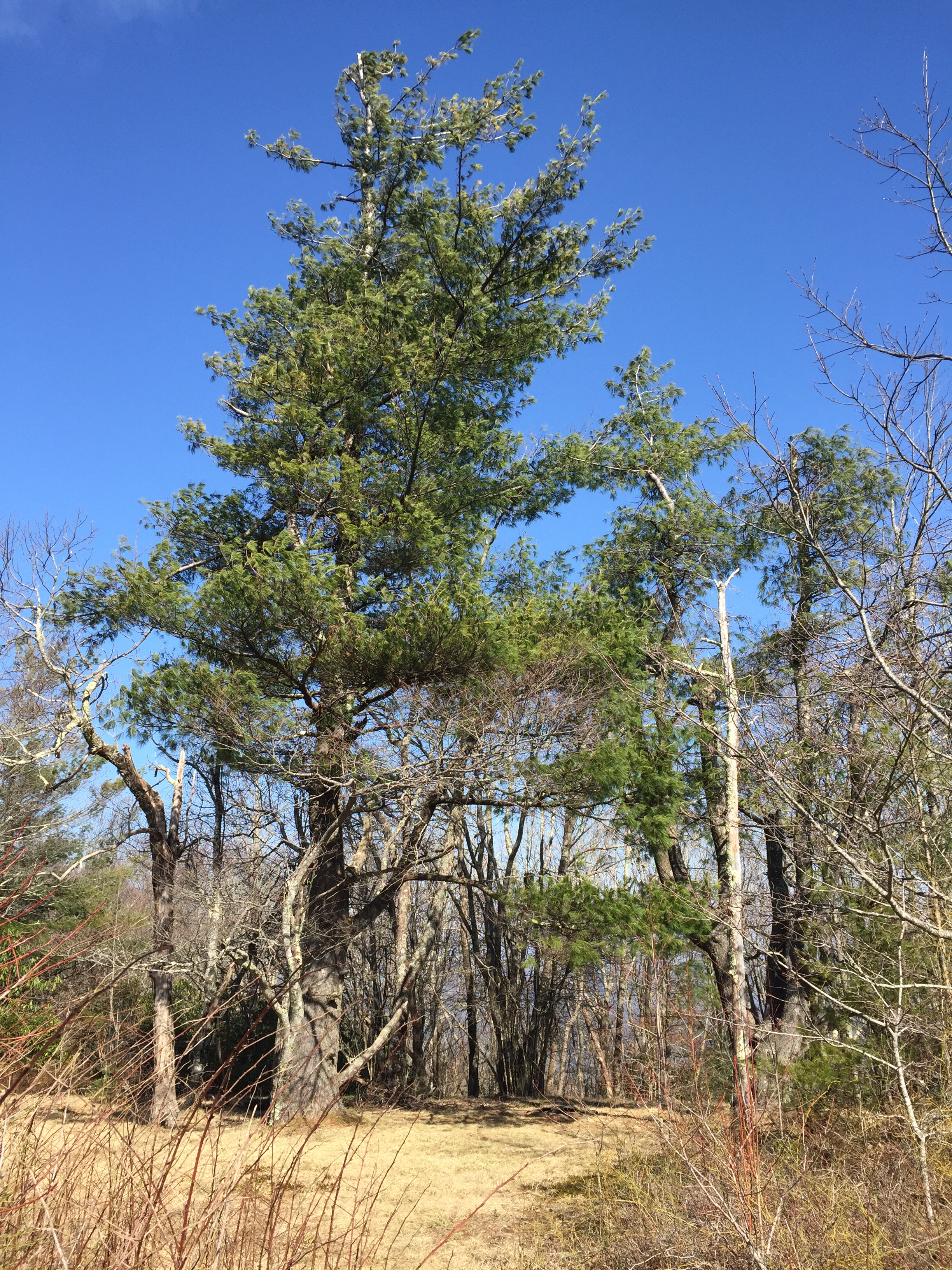
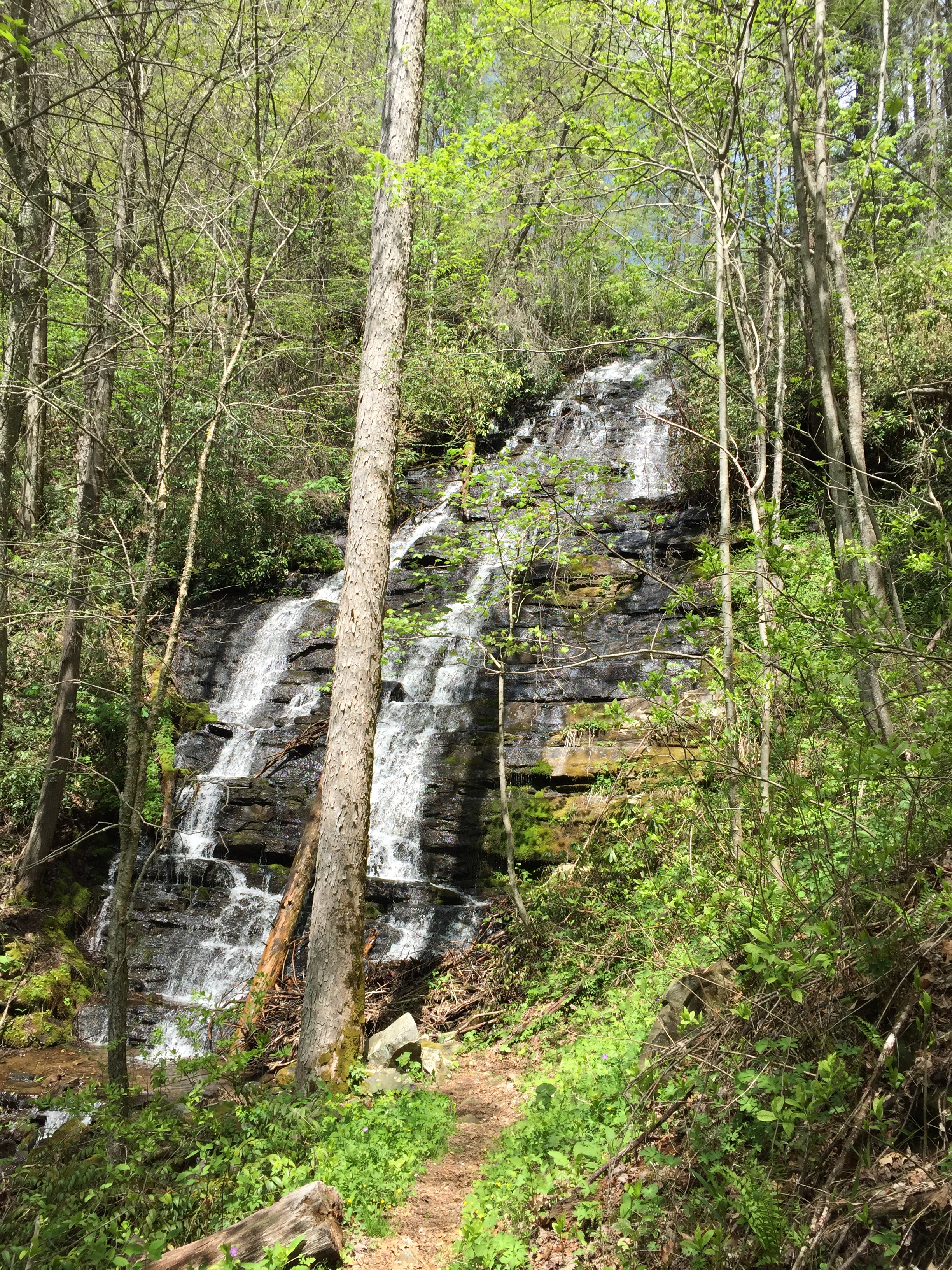
Mountain Magnolia
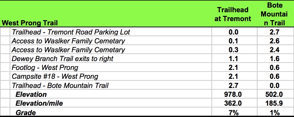
The climb up Gregory Bald Trail to Campsite #13 at Sheep Pen Gap was over 1,800 ft in 4.1 miles. Despite this 14% grade, it is actually the easier access compared to Gregory Ridge Trail. The first half mile is level before the climb turns to steady uphill. Along this path I was introduced to a beautiful flowering tree I later learned was the Mountain Magnolia. At 1.3 miles the climb turns forceful. At 3.5 miles, there is evidence of pretty heavy impact from the wild pigs and horses, making the trial rather muddy in places.
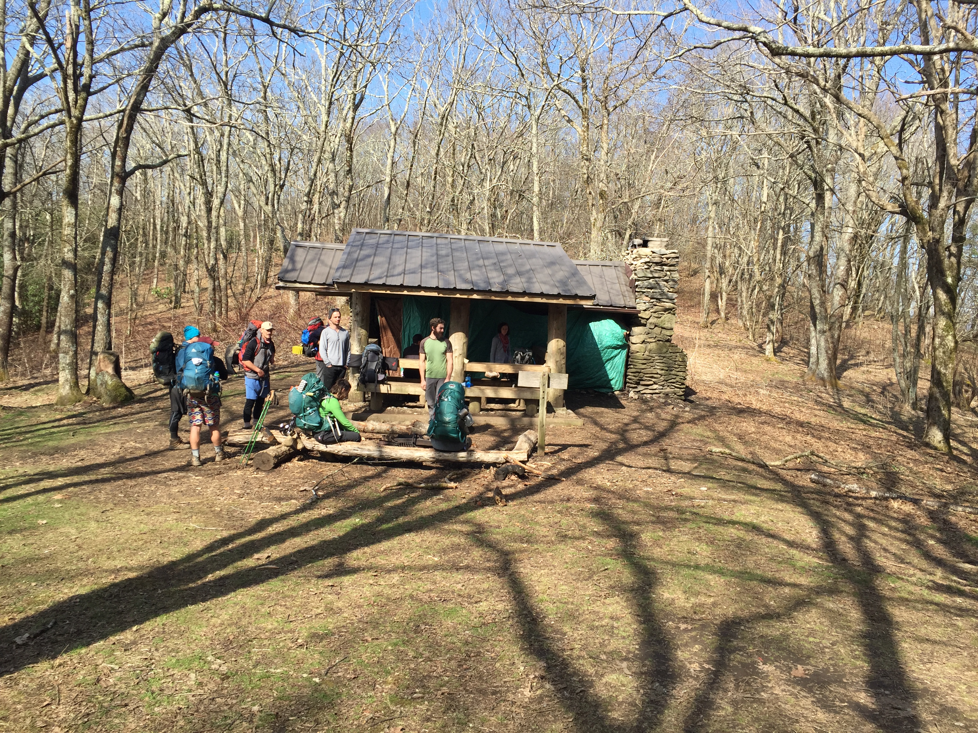
Finally, at 4.1 miles, CS #13 appears. There were 16 or so tents already in the camp as this is one of the more popular sites in the park. This number exceeded the specified capacity of the site but fortunately there is plenty of good level space to spread out. The site also sees a fair amount of bear activity and the Park Service will close it in times of heavy interaction. I found a couple trees and hung the hammock, then I joined a group of guys from Maine at their campfire for some conversation while we cooked our dinner. I wanted to catch a sunset on Gregory Bald, which is only a half mile up trail from the campsite but timing was not my friend. Nevertheless, I donned my trusty headlamp and headed up for some stargazing.
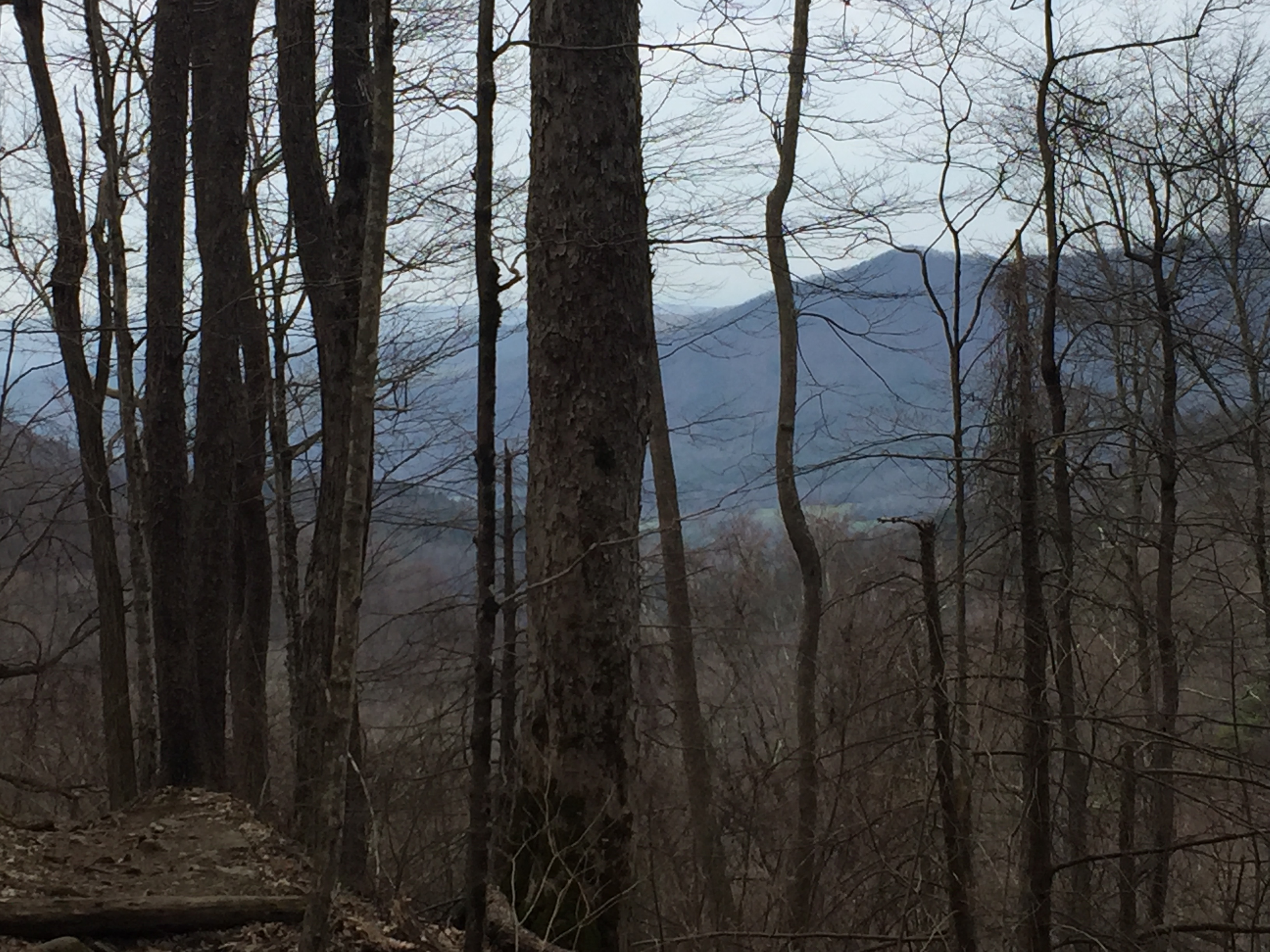
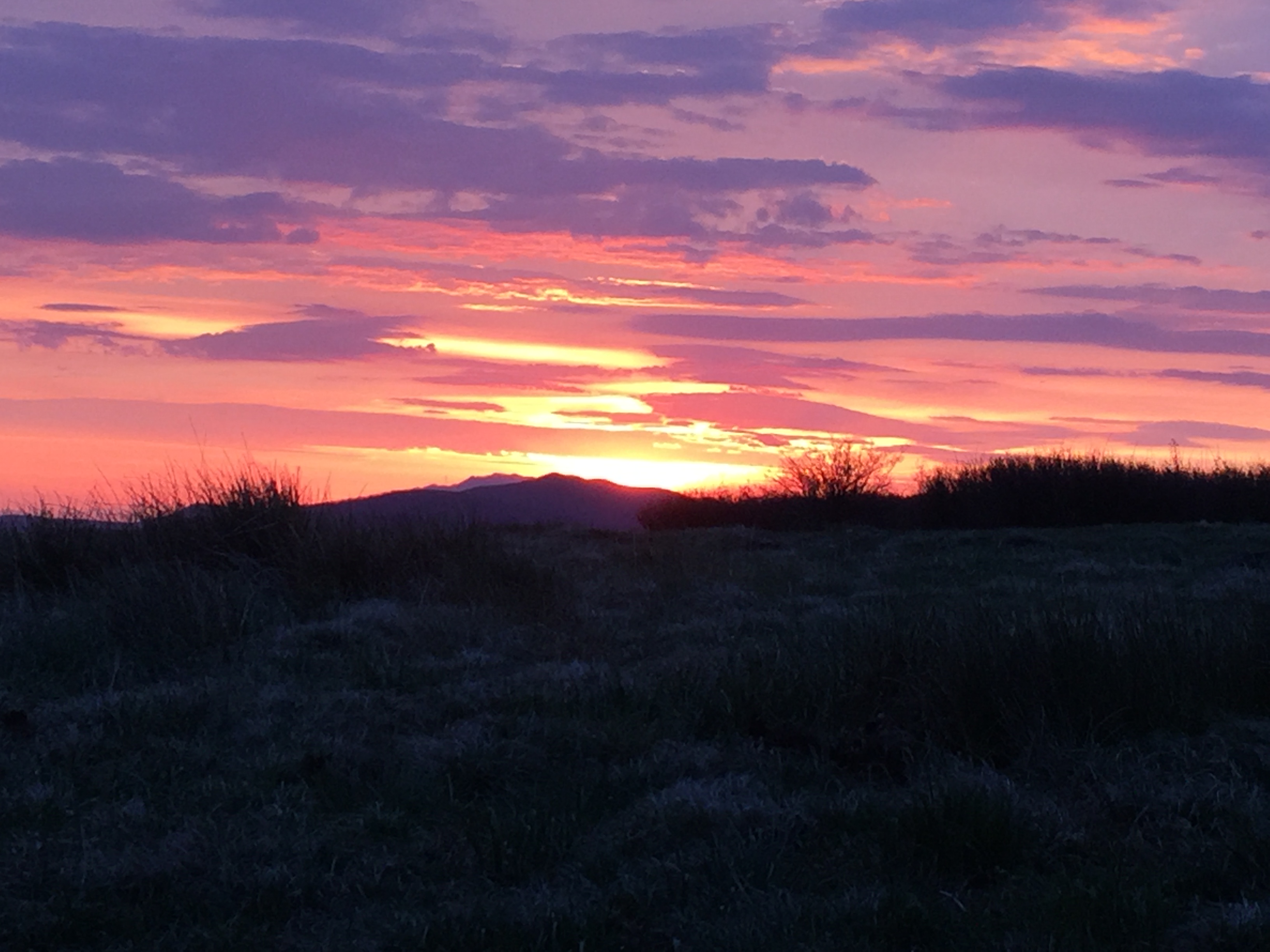
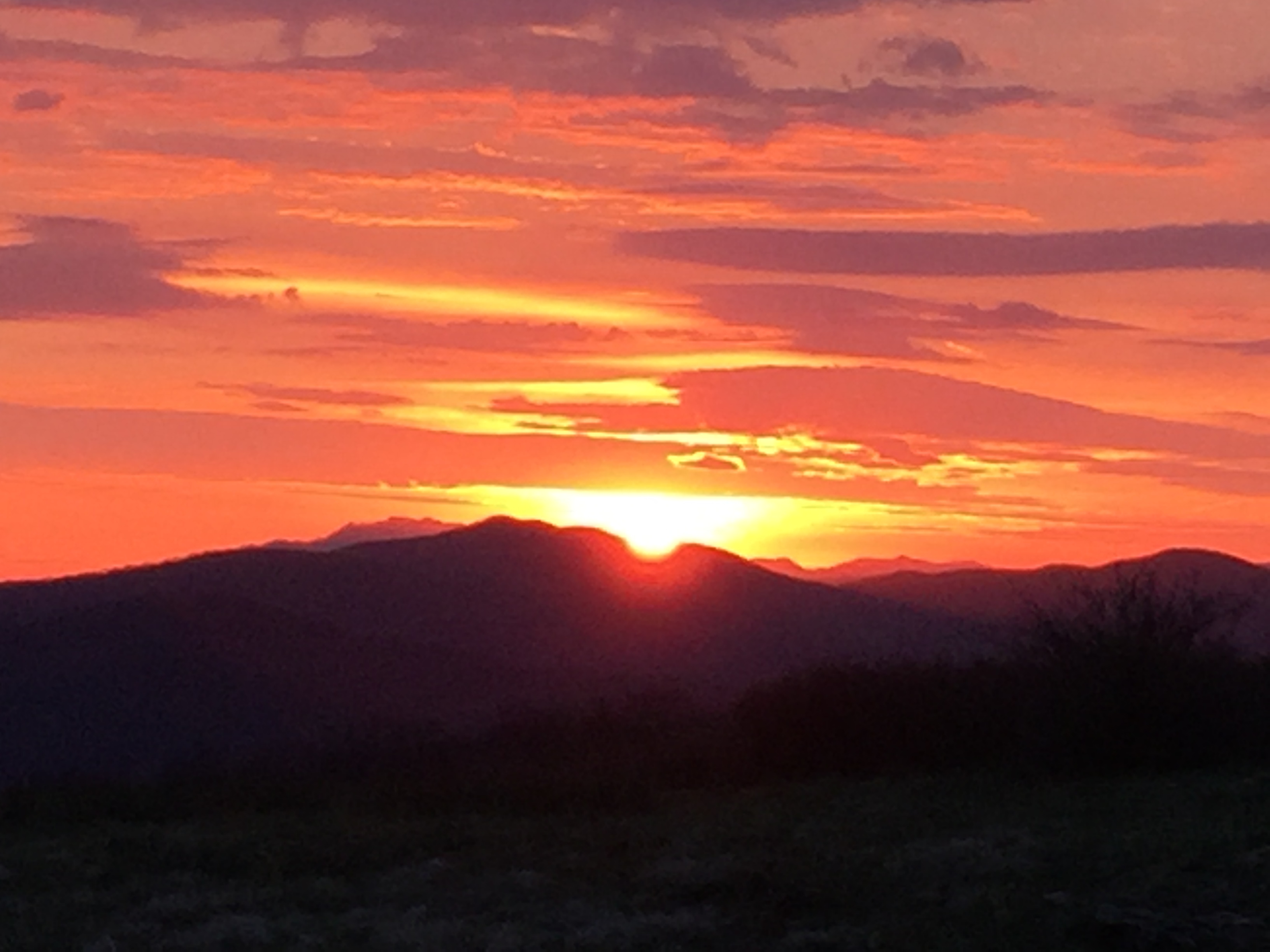
Gregory Bald is among my most favorite places. Although quite popular, it’s not an insignificant effort to get there and it’s rare to have the moment to yourself. If you are willing, solitude can be found with a little effort and one way is to head up the trail in the dark. So with headlamp mounted, I made the 10 minute hike to find a beautiful view of the Maryville lights. Gregory Bald invites some rather aggressive breezes as testified by the low tree cover but this night was calm and cool. When engaged in a sacred moment, it seems out of place to be concerned with such constraints such as time. I am not sure how long I was there but I arrived back at camp abut 9:30 and nestled into my hanging cocoon for a calm night of well deserved rest.
I awoke at first light and quickly but quietly broke camp as I really wanted to catch the sunrise on the Bald, especially since I missed sunset the previous night. At 6:30 am, I got a later start than I preferred and by the time I made the 10 minute hike up to the top, the sky was already lighting up. To my great fortune, the sun had not yet risen over the distant ridge so I was able to settle near my favorite tree and prepare for the magic that was about to unfold. Watching the sunrise by yourself in a sacred place is like witnessing creation. There was a stillness you can feel as the sky is set ablaze by the first light of a new day. Here, time is not measured in minutes and hours. Only in moments of eternity. The new day was then celebrated with a feast of oatmeal and coffee in the best dining room in the Smokies. There were no other guests, no service staff and no exchange of commerce. Only a quiet inauguration of glorious new day.


The goal for the day was to complete the Gregory Bald Trail which extended another 2.5 miles to the Appalachian Trail, which was a rolling descent along the North Carolina/Tennessee state line. An older guidebook mentioned this section and being a part of the AT in early times. The bald disappears a short distance from the top as the trail enters low mixed hardwoods in a steep descent. Hiking atop a ridge does not guarantee level walking. Gregory Bald trail goes up and down like a roller coaster with very steep climbs of a quarter mile or so. About a mile into the morning’s hike, I met another group of wild pigs who quickly scattered upon meeting my scent. Trail damage from the hogs is again evident in this stretch. At 6.6 miles, the trial levels out to pleasant hiking until about 7.0 miles for one final short climb up to the AT.

A Late Blooming Dogwood
With Gregory Bald Trail now complete, I headed back toward Gregory Ridge Trail for my exit back to Cads Cove; now hiking the steep roller coaster in reverse. The two miles was complete in 45 minutes. After a sip of water, it was time to plunge down Gregory Ridge Trail to Forge Creek Turnaround. It’s 5 miles and my goal was to make it in 90 minutes. Such a challenge does not leave time for casual conversations with other hikers, nor does it afford opportunities for flower gazing and making conversation with the tree people. But as one approaches a certain age, it is good to know your legs can still fly. And since I have already hiked and documented this section for posterity, I saw no compelling need to repeat that effort. I did meet a few hikers headed up to Gregory Bald for the day and I avoided rudeness with a quick hello and letting them know how much of their climbing ordeal was ahead of them. You lose 2,600 ft over 5 miles in this direction and even though i was not having to climb like my fellow hikers, a steep descent is no less full of effort. Upon approaching Campsite #12 at 3.1 miles, I did not stop to make a full report as it was also documented in my previous hike. I nodded politely to a couple hikers at the site and continued my accelerated pace for the last 2 miles to the trailhead. At 1 hour, 29 minutes, I reached the trailhead and collapsed. The young couple I passed just a half mile back appeared and we chatted briefly. They were at CS #13 as well and reported that a bear came through the campsite mid-afternoon sniffing around rather leisurely and not really worried about its human brothers and sisters. It was a good thing we had no encounters in the night.
As they headed for their car, I was able to beg a ride back to Cades Cove, relieving me of the 2.5 mile road walk back to the Loop Road. They dropped me off at the Visitor Center parking area and I hiked the mile against traffic back to the car. After a 35 minute traffic crawl back out of Cades Cove, I was able to make it to Elvira’s Cafe in time for a late lunch, capping a great two days of hiking.
Route Data:

 Strider Out…


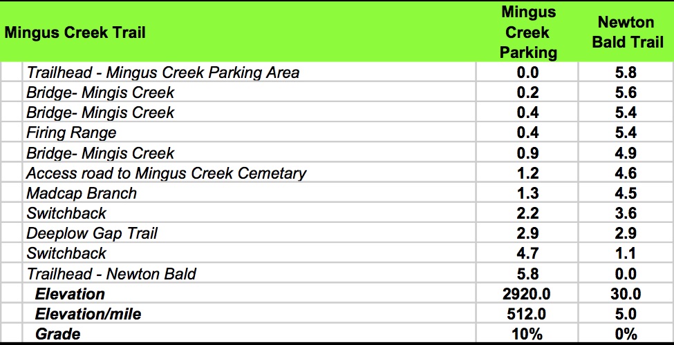


 After the quick yo-yo hike to Cooper Creek Road, continue on Deep Low Gap Trail as it begins it’s climb back up to the Mingus Creek Trail. This climb is about 1,000 ft over nearly 2.5 miles but the 4% grade is deceptively hard after having hiked over 12 miles. The trail crosses Cooper Creek several times, at least once in a wet crossing, before the trail crosses one last time in a switchback and begins the final 0.7 mile ascent up to Mingus Creek Trail.