Date: 02.26.2016
Miles: 12.7 Hiking Time: 4:26 Total Trip: 5:21
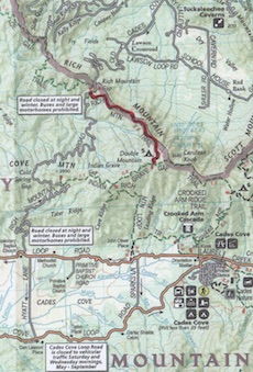
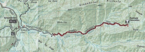
Route: Cooper Road Trail to Hatcher Mountain Trail to Abrams Falls Trail
 By now, I have documented a few hikes made up of sections of different trails, which presents a bit of a problem with keeping a detailed record of each trail. A 900 miler accumulates a number of trail segments from different trails at any given time. It’s pretty easy to keep up with on a spreadsheet. With a blog though, it presents a dilemma of sorts. Should you write up the hike with incomplete trail sections or wait until all sections are complete before documenting the hike. With this post I will attempt a shift in strategy. Whenever I hike hike a number of different segments, I will present the experience as the total hike and reserve specific details when each segment is completed.
And so this hike started out to be a loop around Abrams Falls. The original path was to be Cooper Road to Hatcher Mountain to Hannah Mountain to Rabbit Creek and out.
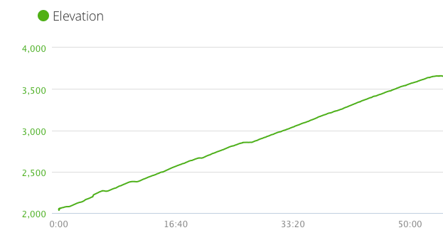
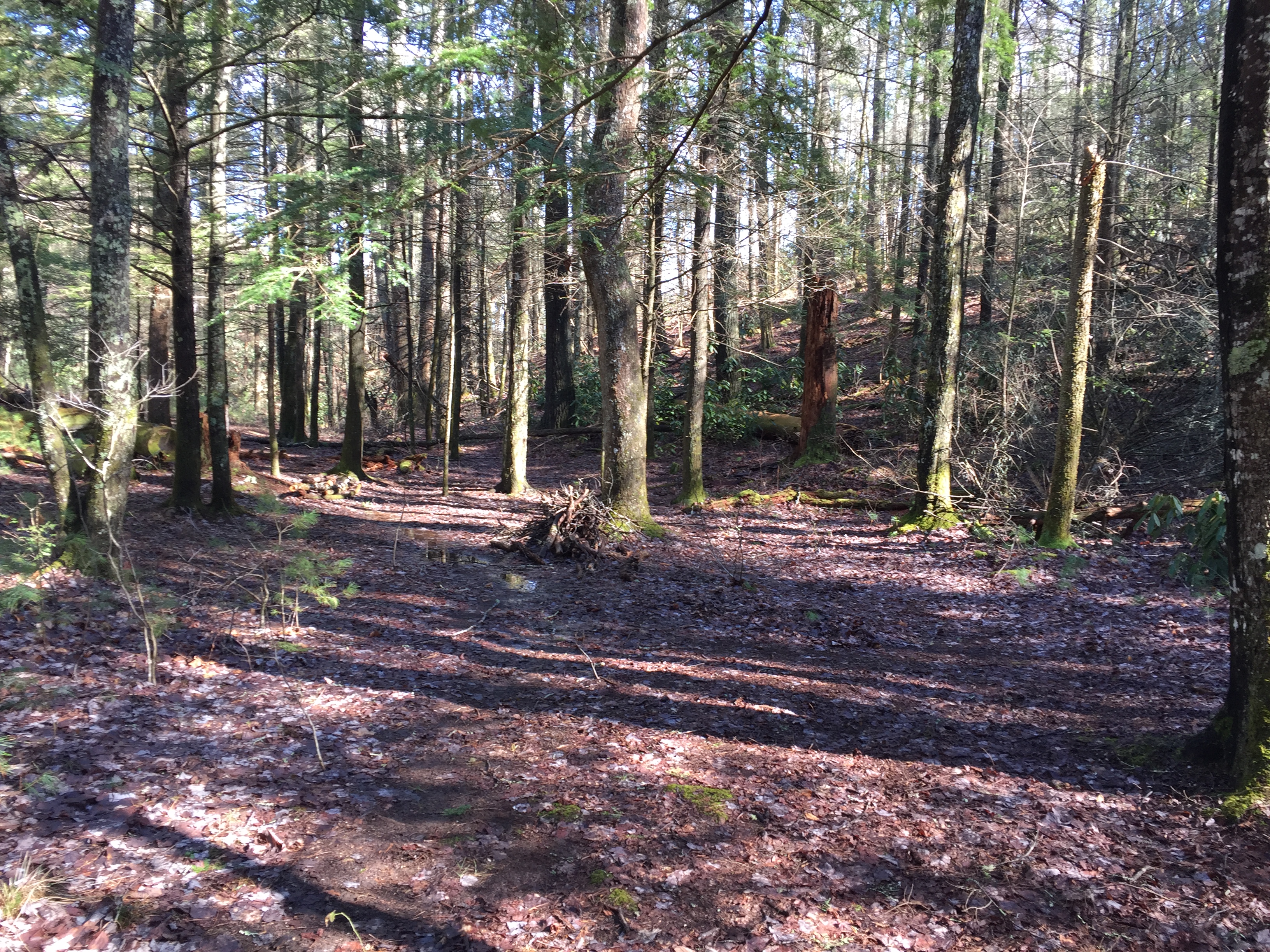
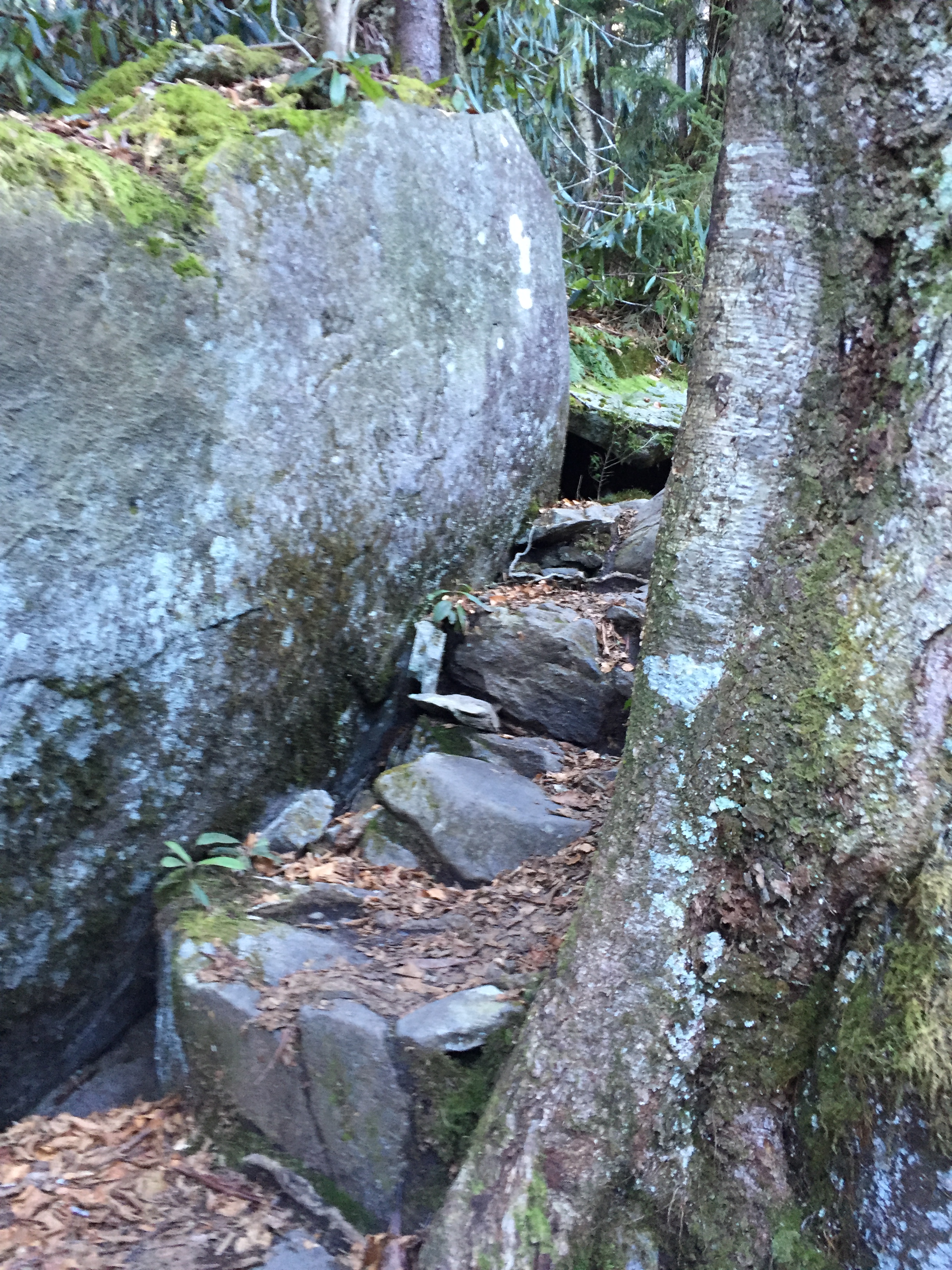
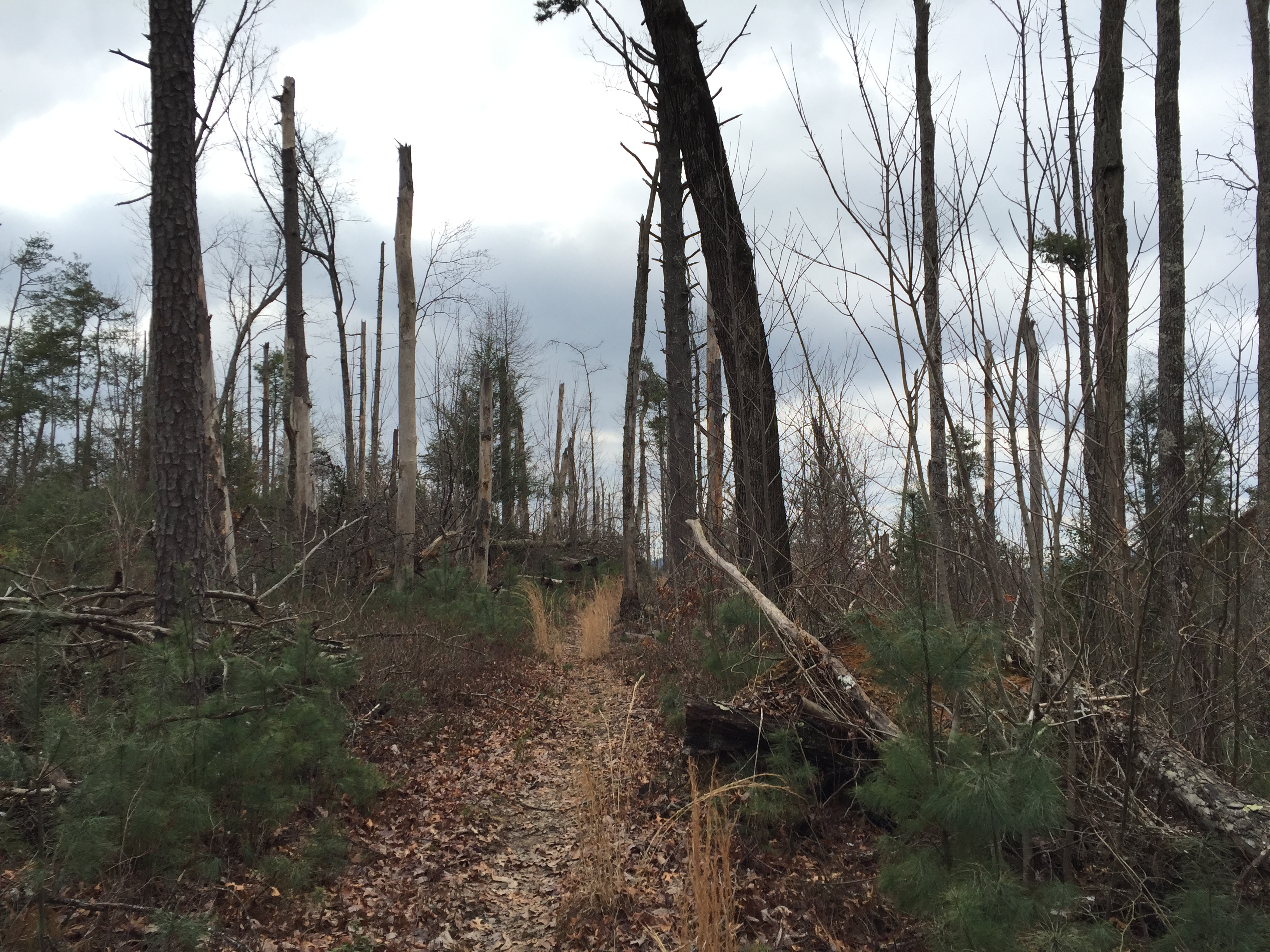
 At 10:39 on Friday, Feb. 26, I parked the 4Runner at the Cooper Road trailhead. It was a brisk 39 degrees and overcast. Traffic in Cades Cove was non-existent which made getting to the trailhead a pleasure. The trail climbs gently for about 3 miles and crests as it heads down to Hatcher Mountain. Toward the end of the section, there is significant blowdown activity with brushy new growth and small pine trees returning. At about 5.3 miles, I came across a couple older 900 milers on their 3rd map. We exchanged information about trail conditions and one mentioned this would probably be their last map. I rebutted his statement saying that you always start the next map but they seemed to agree together that too many birthdays had passed and 3 would be plenty. After 2 hours and 20 minutes I made it to the Hatcher Mountain Trail.
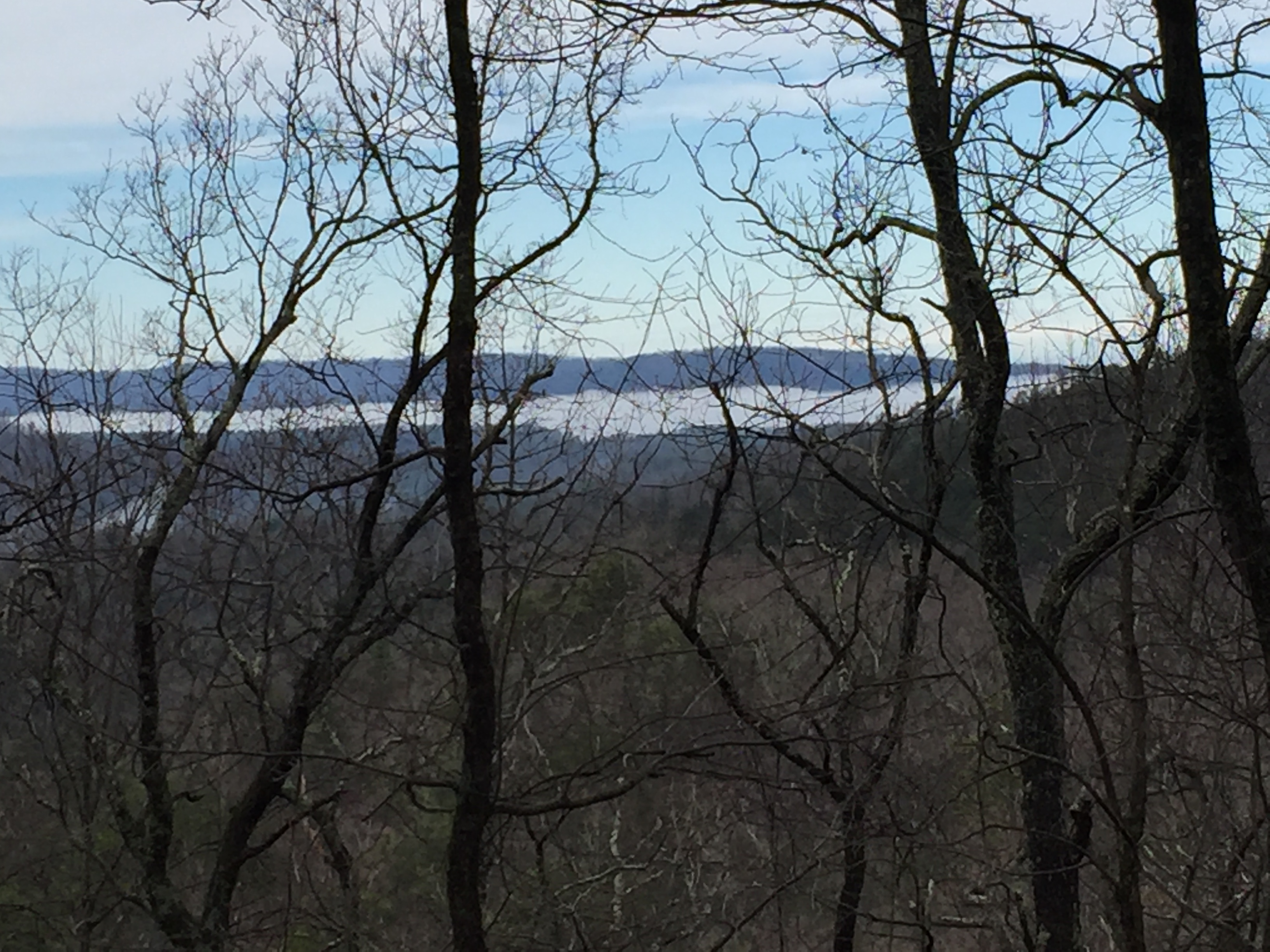
Hatcher Mountain breaks out with views across to Chilhowee Mountain and Look Rock. The hike is steady and slightly downhill the whole way and very pleasant. Once again, there are sections that suffered from significant wind damage with twisted blowdowns but the trail is clear and the openness makes way for some great views. There was still snow on the peaks of the ridge. At about 2 miles, you begin to hear Abrams Creek down in the gorge as it becomes visible through the open ridge. The river music follows you all the way to the end of Hatcher Mountain Trail at the junction with Abrams Creek Trail.
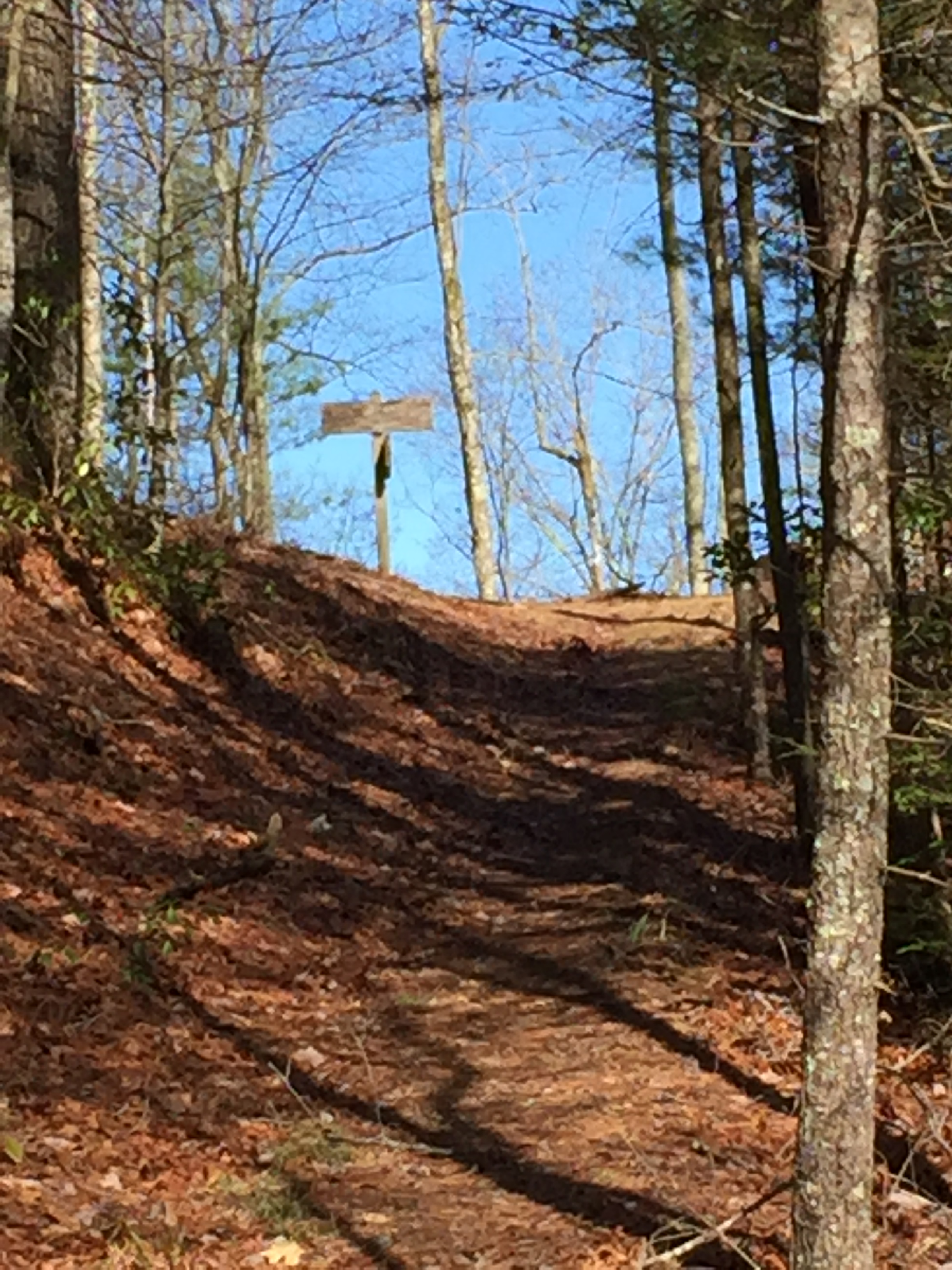
Abrams Creek at Hannah Mountain Trail
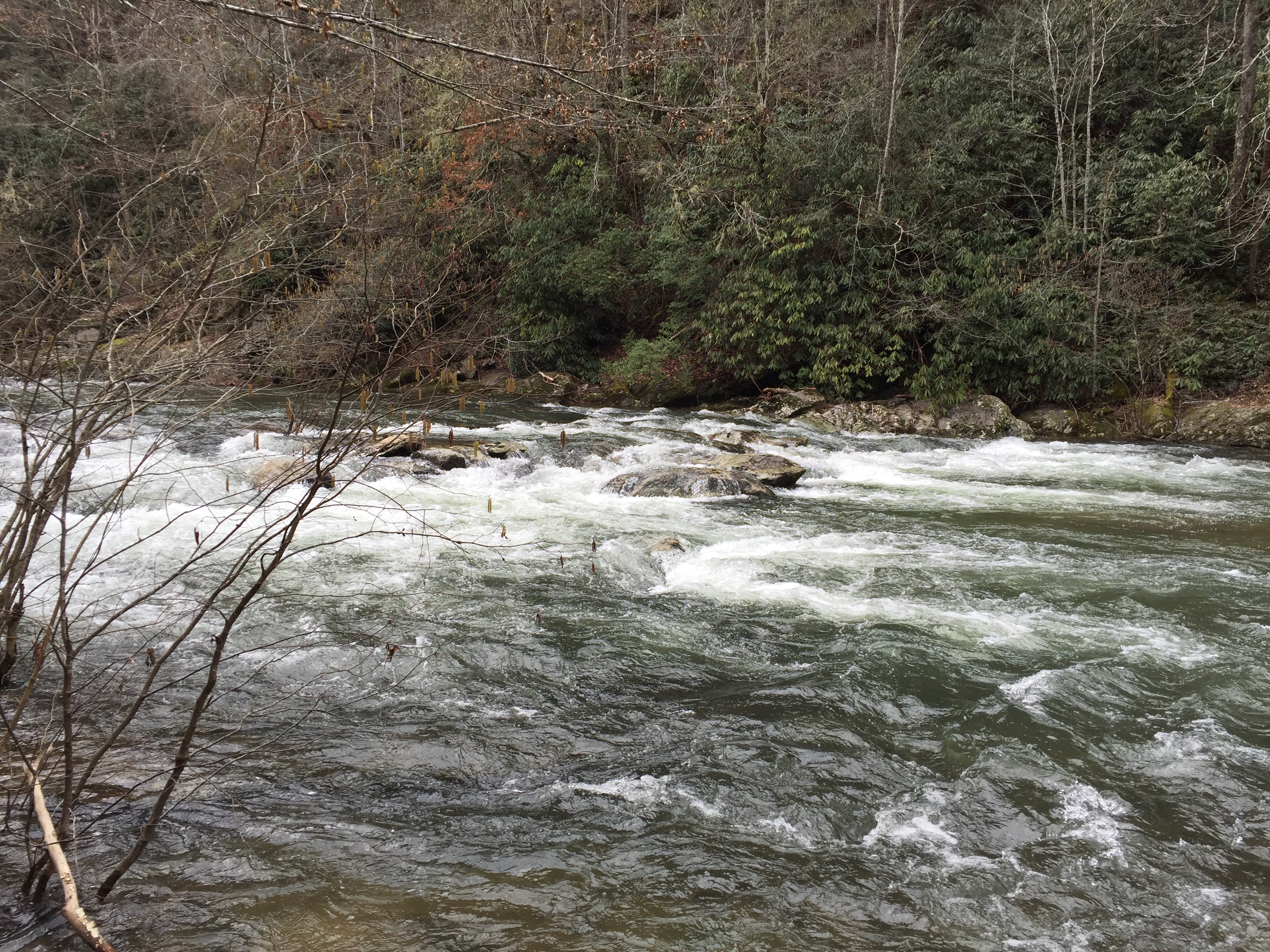
The plan was to pick up Hannah Mountain Trail and continue on to Rabbit Creek Trail but upon arrival, you are met with an obstacle. That being the fording of Abrams Creek. Normally, the creek is no more than knee deep. Conditions this day were as follows: Temperature, low 40’s. Water level: extremely high due to recent heavy rainfall. Current VERY swift. Total number in the group of hikers: one. The thought of a waste deep ford through swift current induced me to reconsider my hiking plan. To my great fortune, the Abrams Falls Trail also terminated at this Junction so discretion took the better part of valor and I headed back up toward Cades Cove on the Abrams Falls Trail.
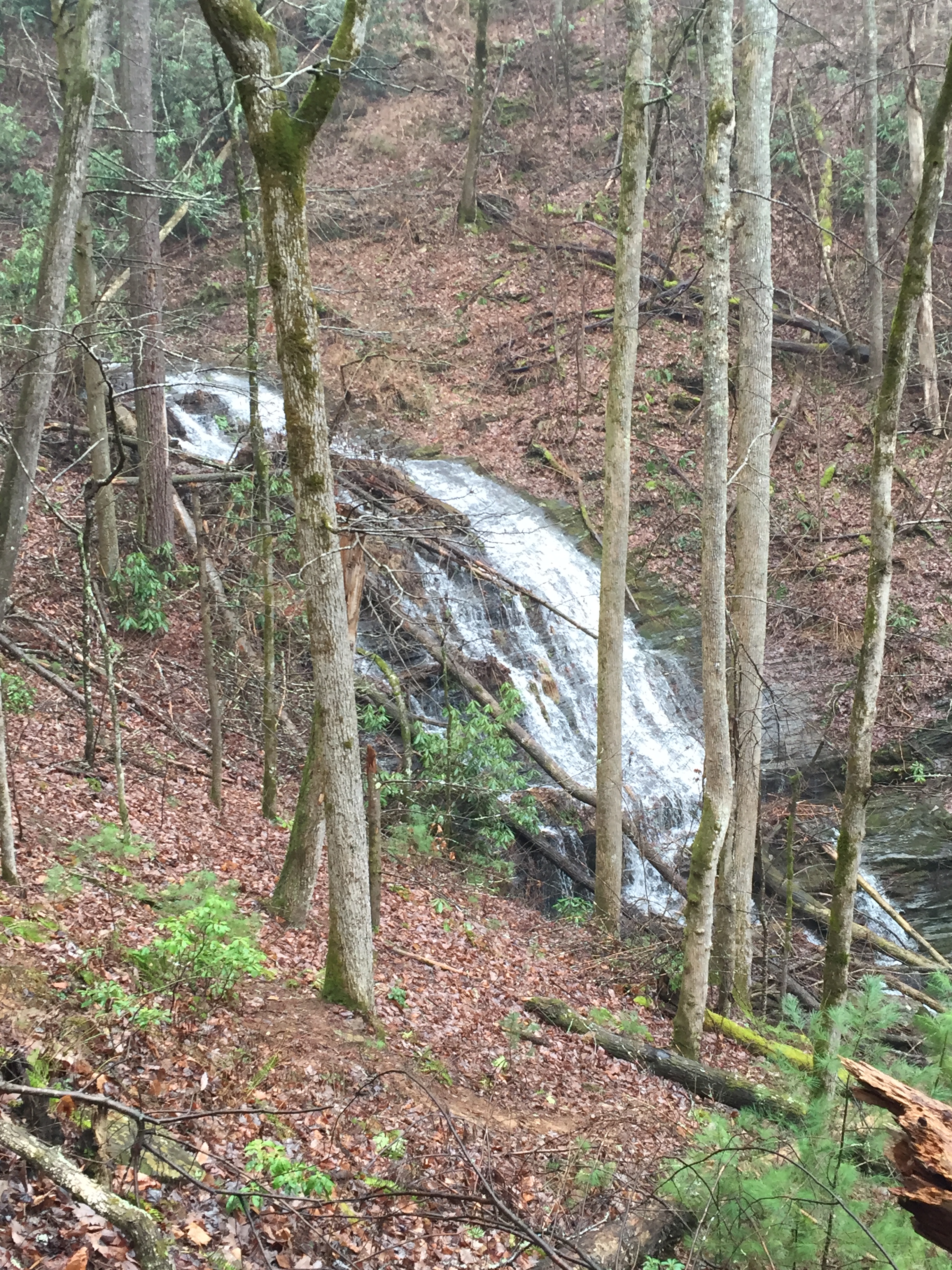
For some time now, Abrams Creek accompanies you, providing a full choir of glorious river music all the way to the falls. The trail gains about 600 feet over its 4 miles so the ascent is slight and gradual, making for a glorious walk all the way. As the trail turns away from the creek and then returns back toward it, the magnificent sound seems change key like different movements of a symphony. The rapids of Abrams Creek are always visible through the wintertime foliage.
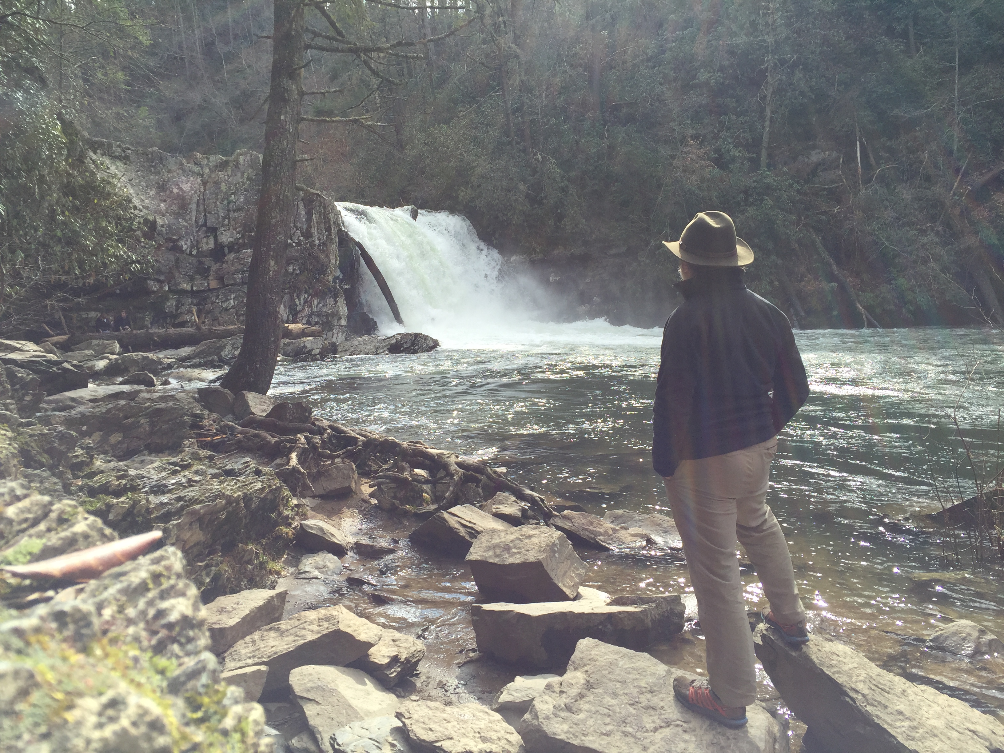
 At about 1.5 miles, through the trees, you finally see it. The majestic Abrams Falls comes into view in all its glory and the reason for taking this unplanned route reveals itself in a wonderful surprise. The flow of water over the falls is as full as I have ever seen it, spanning the full width of the falls without a single break in the swooping wall of water. Excitement builds as you follow the sight for the next 300 yards. Finally you come to the footbridge that leads you through a door to the sacred place that is Abrams Falls. As I entered the sanctuary, I was thrilled to see only a half dozen other pilgrims had made the trip.
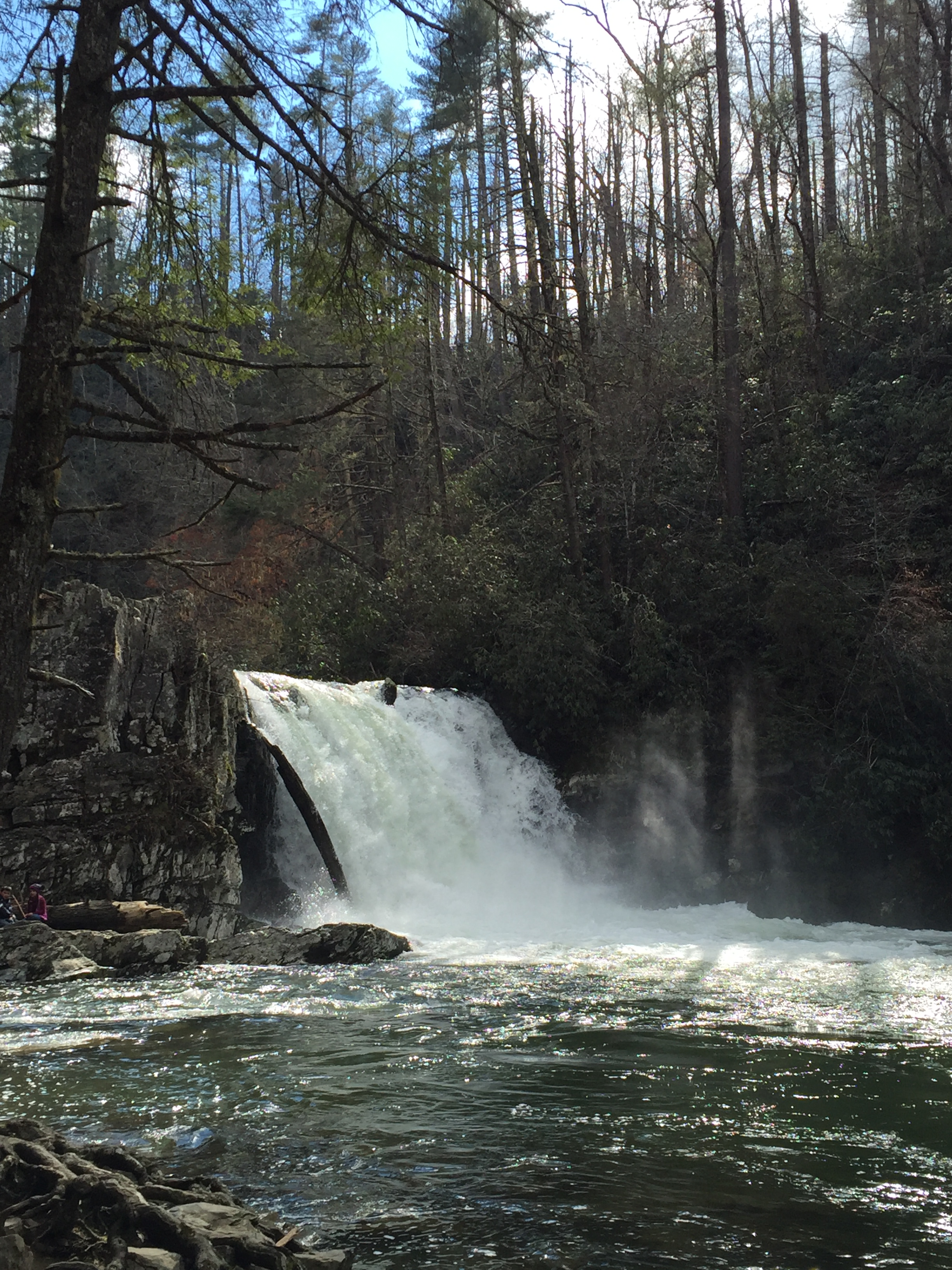
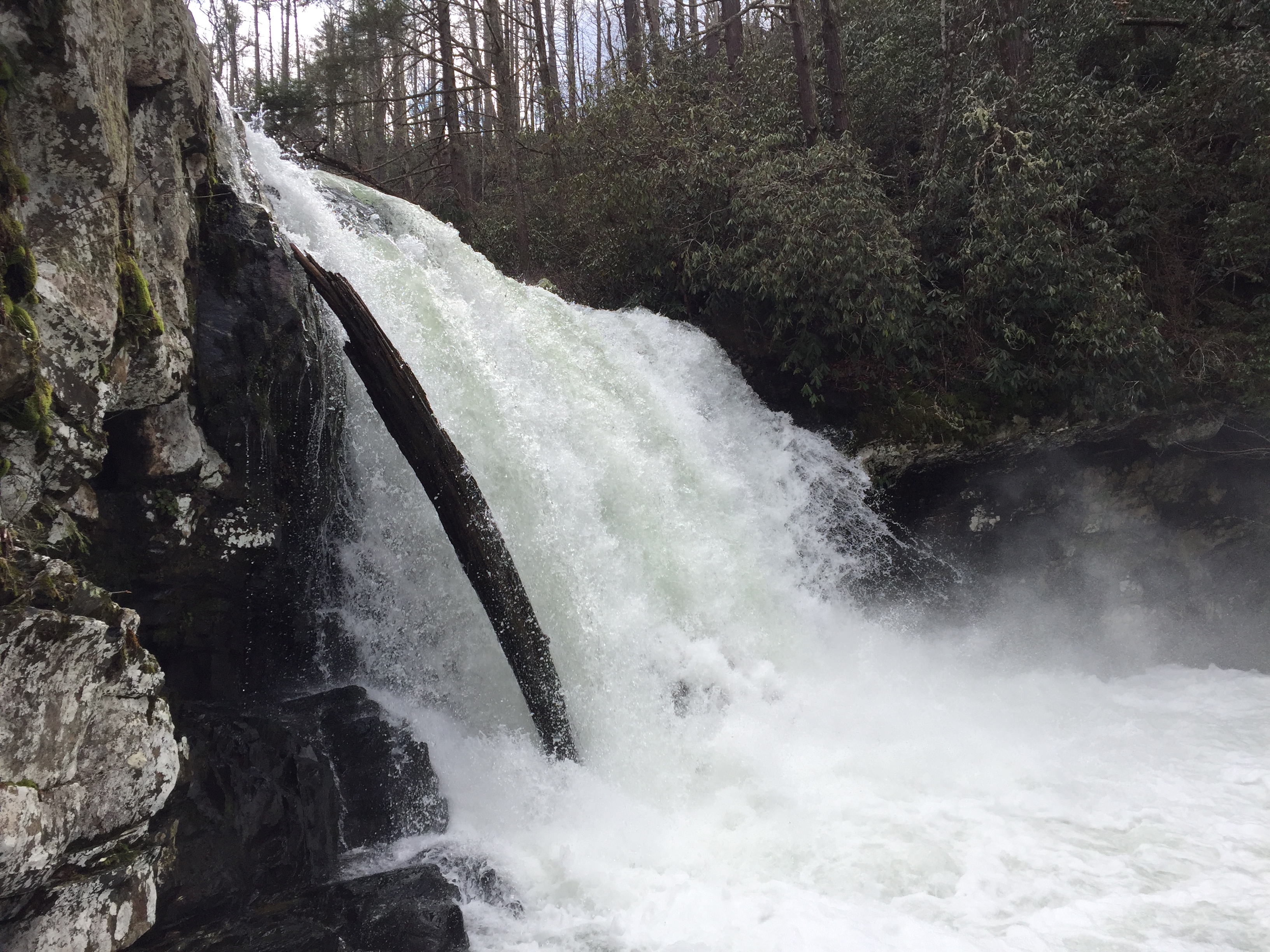
 Over the 45 minutes I spent at the falls, I was blessed with 20 minutes of solitude as the other visitors left for the trailhead. The time was magic as all Creation performed its concert giving witness to the Creator in full glory. When we are gifted with a glimpse of Heaven, we can only stay for a while before we must return to the domain of Man. Such as it was with this visit and about 3:20 PM, I headed for the trailhead at Cades Cove.
The sun arrived during my moment in the sanctuary and it turned the day into perfection for the walk up.
Blessings tend to come when they are completely unexpected and today was exemplary of this fact. Had I been able to stay with my original plan, I would have missed the falls in its full display of raw power and sound. And yet, I would never have known. This all makes one even the more thankful because the gift was precious and its giving was not anticipated. This is the way of grace.