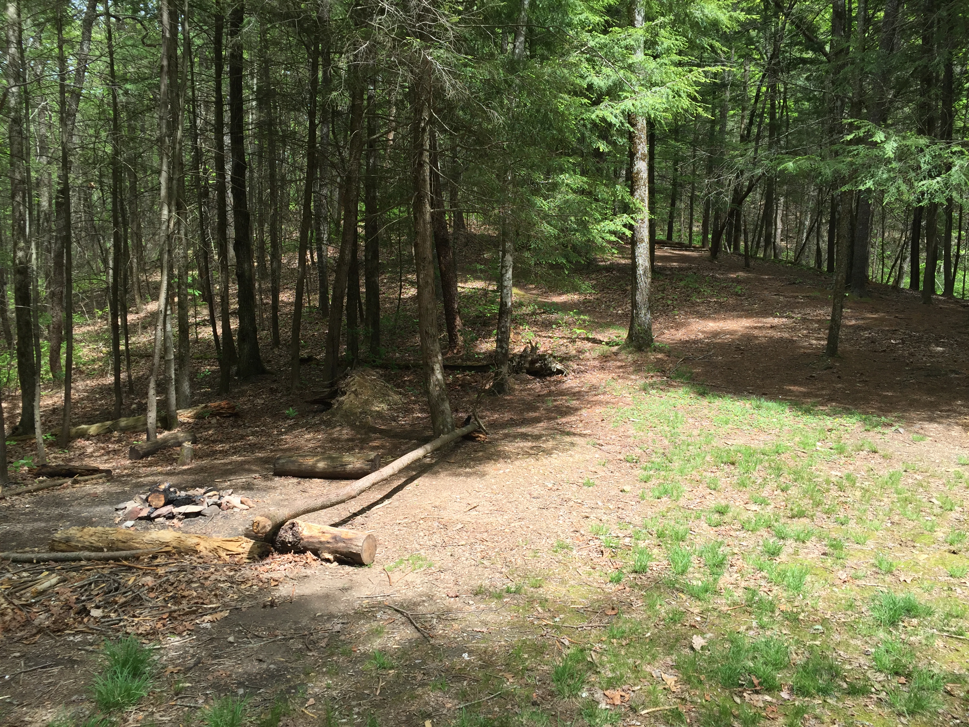
Campsite #13 – Sheep Pen Gap
Gregory Bald Trail – 4.1 miles from the Trailhead at Sams Gap on Parson Branch Road, 0.5 miles from Gregory Bald Summit.
Capacity: 15
Rating: 7
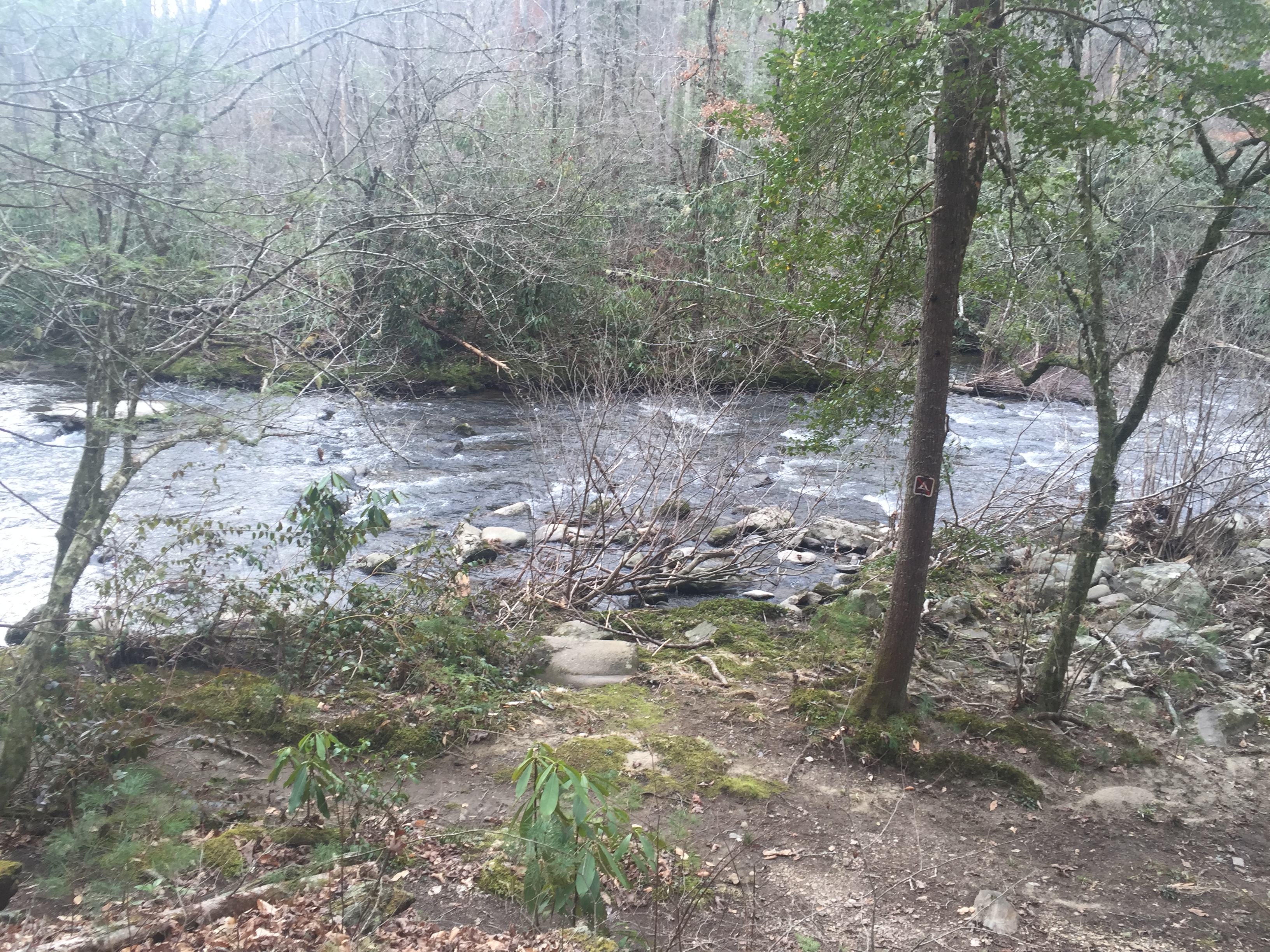
Water: About 300 yds short of the campsite to the left of the trail.
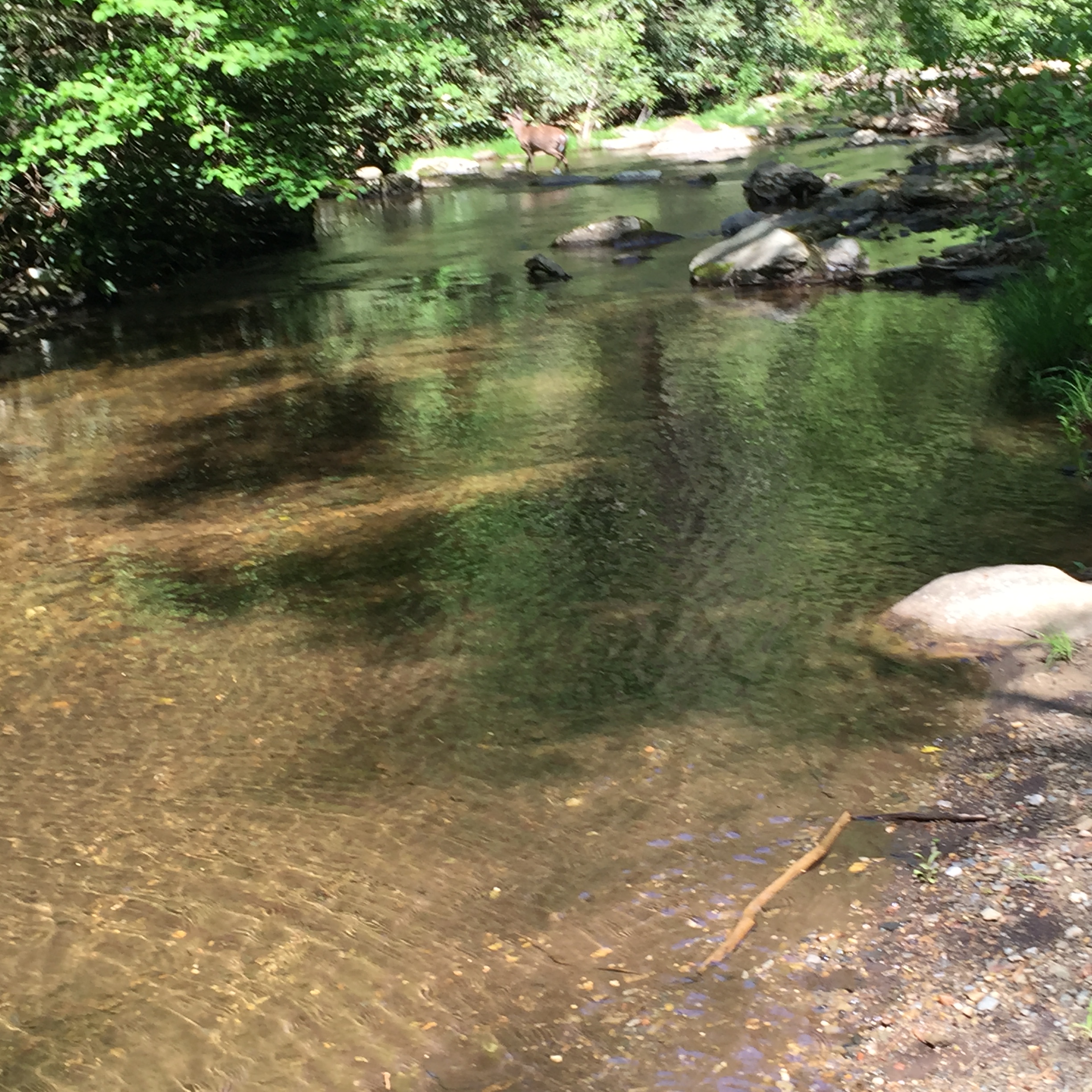
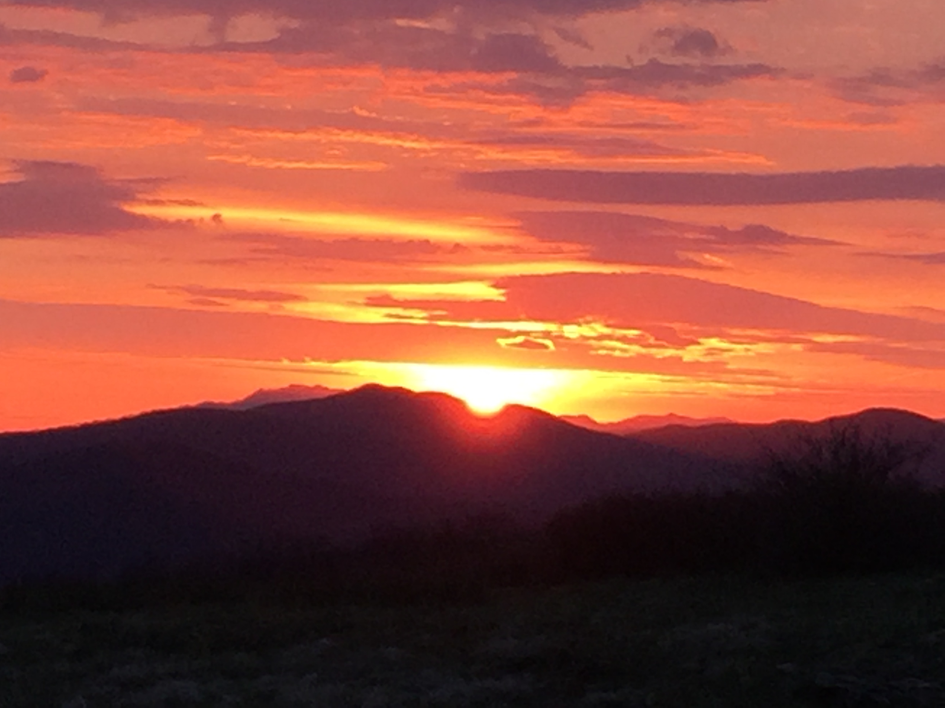
Sheep Pen Gap at 4,640 ft. is a marvelous place for a campsite. It is large, grassy, flat and shaded by Yellow Birch trees. It’s half mile proximity to both Gregory Bald and Parson Bald makes it possible to enjoy sunrises and sunsets without much rigorous night hiking. Gregory Bald is only a 10 minute walk up a fairly gradual ascent although headlamps will help negotiate the large rocks that are featured along the trail. The site is quite popular and that is a bit of its disadvantage. During warmer months, it is usually quite well used if not overused.

Sunrise from Gregory Bald
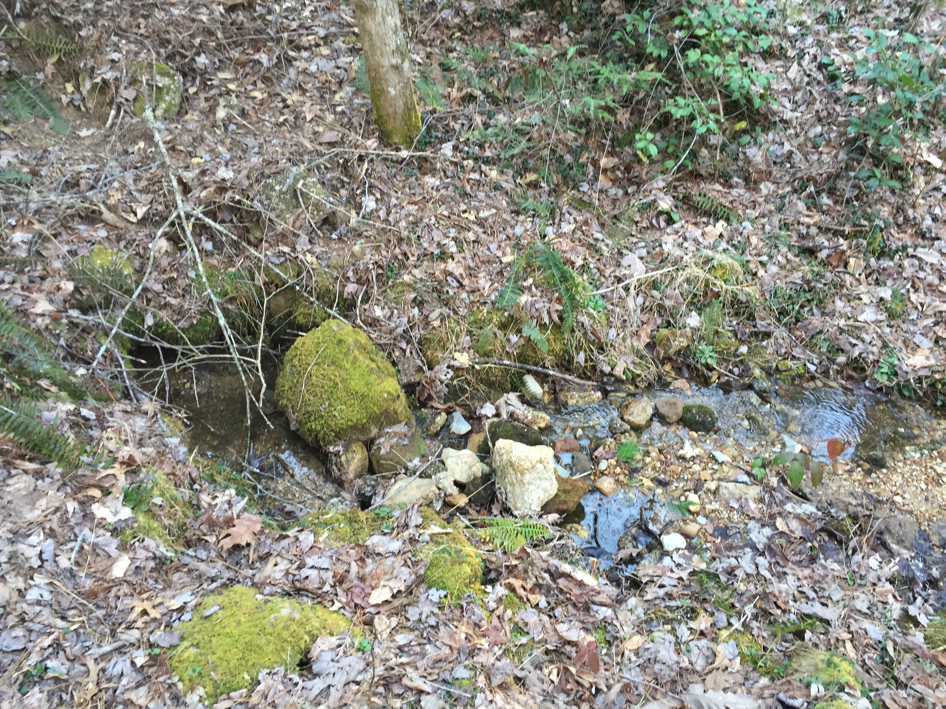
The water source is a completely different matter. It is a spring 300 yards or so down the trail, which is the headwater for Panther Creek, but due perhaps to wild hogs and also to horse traffic, it is typically a muddy mess and care must be taken to find an upstream place to gather your water needs and one should certainly treat all water.
One other note about Campsite #13. It is popular with the bears. Bears are plentiful in the region and the sheer traffic and density of great food smells from crowds of camper attract the hungry bruins, especially in the spring and early summer when their natural food supplies are still in the making. Campsite #13 is frequently closed due to bear activity so check with the park service for bulletins on campsite closures.
Rating Summary:
- Water (questionable)
- Level tent sites
- Well drained sites
- Bear Cables
- Low impact
- Inspiring Location
- X Factor
 Strider Out…

 Campsite #15 – Rabbit Creek